Mohe Ground Station Boosts Polar Satellite Data Coverage
•February 16, 2026
0
Why It Matters
The expanded coverage and near‑real‑time capability sharpen China’s ability to monitor high‑latitude regions, strengthening national security, climate research, and commercial remote‑sensing services.
Key Takeaways
- •Mohe station adds 4 million km² coverage
- •Supports 25 national land‑observation satellites
- •Handles >24 satellite tracks per system daily
- •Achieved 99.79% data reception success rate
- •Extends polar pass time by 24 minutes (+20%)
Pulse Analysis
High‑latitude ground stations are critical nodes in the global remote‑sensing network because they capture data during the brief windows when polar‑orbiting satellites pass over the Earth’s poles. Mohe’s position near the Arctic Circle gives China a unique advantage, extending its observation footprint into regions traditionally underserved by ground infrastructure. This geographic edge aligns with international trends where nations are investing in polar capabilities to improve climate modeling, sea‑ice tracking, and resource assessment, positioning Mohe as a strategic asset in the broader space‑based Earth observation ecosystem.
Technically, Mohe operates three dual‑polarization S‑ and X‑band receivers, each handling more than two dozen satellite passes daily. By the end of 2025 the station had logged 36,001 tracks and ingested over 1,775 terabytes of imagery, maintaining a data‑reception success rate above 99.79%. Such reliability enables near‑real‑time delivery of high‑resolution data for land surveys, weather forecasting, and disaster response. The additional 24 minutes of daily contact—over a 20% increase—translates into richer temporal resolution for time‑critical applications, reducing latency between observation and actionable insight.
Strategically, Mohe reinforces China’s ambition to become a leading provider of remote‑sensing services. The expanded coverage supports domestic initiatives in environmental protection and infrastructure planning while also creating exportable data products for international markets. As global demand for high‑latitude climate data rises, the station’s capabilities could attract partnerships with foreign agencies and commercial firms, further integrating China into the worldwide Earth observation value chain. In the geopolitical arena, enhanced polar monitoring strengthens national security by improving situational awareness over the Arctic, a region of growing strategic interest.
Mohe ground station boosts polar satellite data coverage
By Riko Seibo · Beijing, China (SPX) · Feb 16, 2026
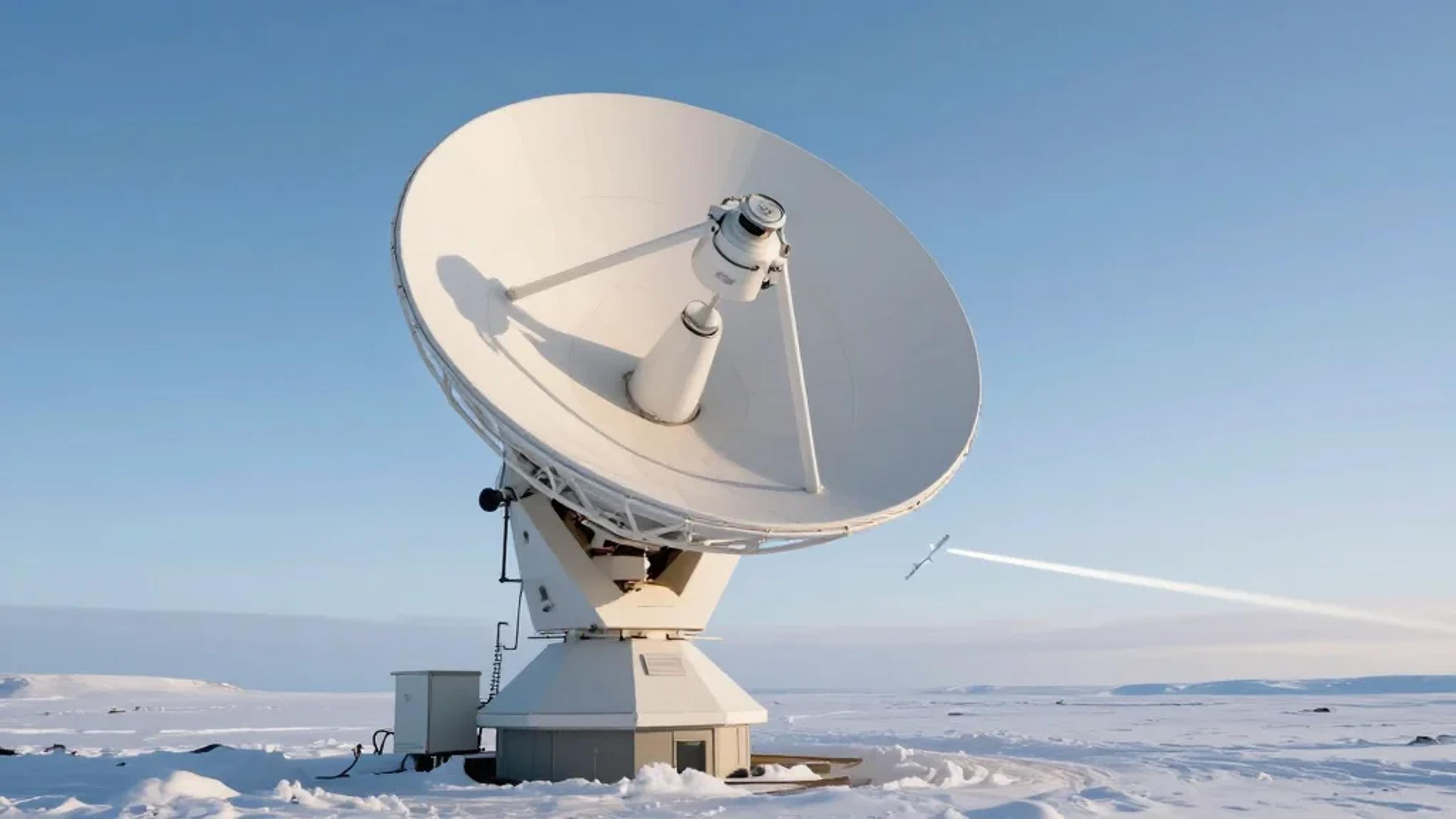
For engineer Shi Shengpu and his colleagues, this Spring Festival will be their first spent at the Mohe Satellite Data Receiving Station of the China Remote Sensing Satellite Ground Station, which began operations on Dec 12 in Mohe, China's northernmost city in Heilongjiang province.
Developed by the Aerospace Information Research Institute of the Chinese Academy of Sciences, the Mohe facility is the country's highest‑latitude satellite data receiving station and marks a major step forward in national land‑observation satellite data reception capability.
By leveraging its high‑latitude location, the station has extended China's satellite data reception footprint by about 4 million square kilometers, according to station director Shi.
The expanded coverage strengthens China's ability to observe polar and high‑latitude regions, boosting the efficiency and span of satellite data acquisition for land surveys, environmental protection, weather forecasting and disaster monitoring.
While remote‑sensing satellites orbit Earth and capture large volumes of observation data, ground stations such as Mohe are responsible for receiving and processing this information so it can be applied to real‑world needs.
The Mohe station currently operates three satellite data receiving systems configured for S‑ and X‑band dual‑polarization signals, with each system handling on average more than 24 satellite tracks per day.
At present the station supports data reception for 25 national land‑observation satellites, including spacecraft in the resource, environmental‑disaster‑reduction and high‑resolution series.
With near‑real‑time transmission and fully automated reception, and with key technical indicators reported at advanced international levels, the station had successfully received data from 36,001 satellite tracks by the end of 2025.
Over that period it acquired more than 1,775 terabytes of satellite data, achieving a data‑reception success rate of more than 99.79 percent.
Shi noted that the Mohe facility also extends the daily reception time of individual polar‑orbiting satellites by about 24 minutes, an increase of more than 20 percent compared with previous coverage.
He and his team spent more than three years building the Mohe station, working through harsh weather and remote conditions to bring the high‑latitude ground station into full operation.
0
Comments
Want to join the conversation?
Loading comments...