Satellite Data Moves Closer to Real-Time Farm Decisions
Why It Matters
Real‑time, integrated satellite data can accelerate agronomic decisions, improving input efficiency and profitability across the farm value chain.
Key Takeaways
- •Satellite imagery now offers daily revisit rates for crops.
- •Integration into agronomy platforms reduces data handling time.
- •Analysis‑ready data enables AI models for instant field insights.
- •Faster data boosts ROI by improving input timing decisions.
- •Industry shift treats satellite data as core farm input.
Pulse Analysis
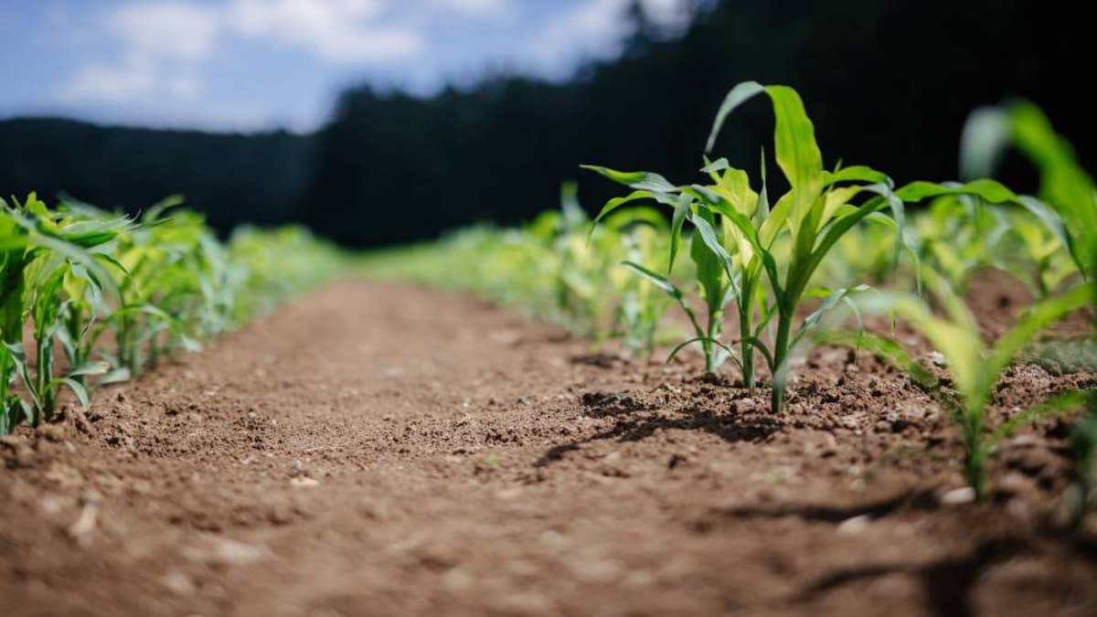
Satellite imagery has been a staple of precision agriculture for decades, but its impact was muted by low revisit frequencies and fragmented data pipelines. Early systems delivered high‑resolution pictures on a weekly or monthly cadence, insufficient for crops that can change condition within hours. This latency forced growers to rely on traditional scouting and weather forecasts, limiting the technology’s ROI. Recent advances in satellite constellations now provide near‑daily, sometimes sub‑daily coverage, delivering the temporal granularity needed for actionable insights.
The next frontier is not more pictures but smarter, analysis‑ready data that plugs directly into agronomy software. By standardizing formats and embedding AI‑driven analytics, satellite providers enable growers to receive prescriptive recommendations—such as variable‑rate nitrogen applications or disease alerts—within the same workflow they use for planting and harvesting. This seamless integration reduces the time and expertise required to interpret raw imagery, turning satellite feeds into an operational layer akin to seed selection or fertilizer choice. AI models trained on continuous data streams can detect subtle stress signals, allowing interventions before yield losses materialize.
For agribusinesses, the shift promises measurable financial upside. Faster, reliable data improves input timing, reduces waste, and enhances yield forecasts, directly boosting profit margins. Moreover, as satellite insights become a standard data point in farm management platforms, they lower barriers for smaller producers to adopt precision practices, democratizing efficiency gains. The industry’s move toward an always‑on, AI‑enabled satellite layer signals a maturation of ag‑tech, positioning satellite data as a strategic asset rather than a novelty.
Satellite Data Moves Closer to Real-Time Farm Decisions
Comments
Want to join the conversation?
Loading comments...