Drone Data Is Useless If It Stays in a Separate Platform
Companies Mentioned
Why It Matters
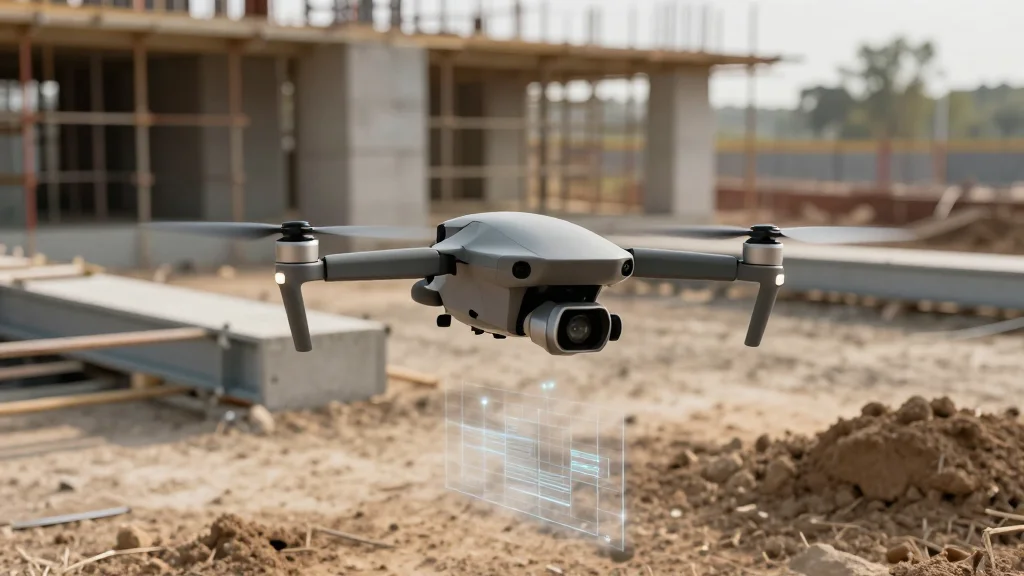
When drone data stays siloed, the substantial investment in aerial technology yields little return, undermining productivity and inflating project costs across the construction sector.
Key Takeaways
- •96% of construction data remains unused, costing industry trillions
- •Drone outputs often sit in isolated platforms, limiting accessibility
- •Integrating aerial imagery with BIM drives measurable productivity gains
- •Unified capture of ground and aerial data accelerates issue resolution
- •Procurement should prioritize API connectivity over hardware specs
Pulse Analysis
Construction’s data problem is a legacy of fragmented point solutions and historically low IT spend—just 1‑2% of revenue, far below the cross‑industry average. The FMI and Autodesk survey highlighted that 96% of generated data sits idle, translating into roughly $1.84 trillion of wasted resources in 2020. Drone technology, while technically mature and cost‑effective, often falls victim to the same siloed approach, landing in separate cloud accounts that project managers and superintendents rarely access. This disconnect turns a potentially powerful insight engine into an unused file repository.
The payoff emerges when aerial outputs are fused with Building Information Modeling (BIM) and digital twin environments. Peer‑reviewed research shows that linking drone‑derived 3D models to BIM enables real‑time comparison of design intent versus as‑built conditions, surfacing discrepancies days earlier than manual inspections. Continuous progress verification, automated volume calculations, and timestamped, geotagged imagery strengthen claim documentation and reduce dispute risk. By embedding drone data within the common data environment, teams transform raw footage into actionable intelligence that drives schedule adherence and cost control.
For firms evaluating drone solutions, the procurement checklist must extend beyond camera resolution and flight time to include API availability, data format compatibility, and seamless integration pathways with existing project management tools. Platforms that unify ground‑level 360° captures with aerial surveys provide a holistic site view, eliminating the need to toggle between disparate systems. As the industry leans into integrated digital twins, the ROI of drone investments will hinge on how quickly and thoroughly the data can be woven into the broader construction workflow, turning visual assets into measurable project outcomes.
Drone Data Is Useless If It Stays in a Separate Platform
Comments
Want to join the conversation?
Loading comments...