The Air Bridge Sustaining US Operations in the Middle East
Key Takeaways
- •Operation EPIC FURY maps C‑17 and C‑5M flights to CENTCOM
- •Three main air bridges: US‑UK‑Europe‑Gulf, southern Europe‑North Africa, Arabian Sea
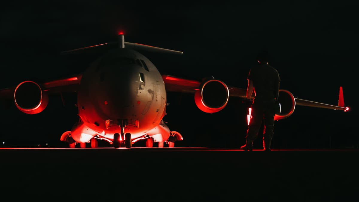
- •C‑17s handle austere fields; C‑5Ms move outsized cargo intercontinentally
- •OSINT tools now reveal military logistics previously classified
- •Pattern‑of‑life analysis exposes strategic airlift network despite transponder gaps
Pulse Analysis
The emergence of Operation EPIC FURY illustrates a paradigm shift in how analysts can piece together military logistics. By harvesting ADS‑B broadcasts—originally intended for civilian air traffic control—platforms like Flightradar24 and ADS‑B Exchange provide a continuous stream of position, altitude and speed data. When this raw feed is filtered over months, recurring patterns emerge, allowing open‑source researchers to chart the movements of C‑17 Globemaster III and C‑5M Super Galaxy aircraft without direct access to classified radar or satellite feeds. This methodology demonstrates that the barrier to visualising strategic airlift now lies in data‑analysis expertise rather than hardware or clearance.
Understanding the air bridge’s structure is crucial for grasping how the United States sustains operations across the vast CENTCOM area. The northern corridor, threading through the United Kingdom and mainland Europe, serves as a high‑capacity conduit for bulk cargo, while the southern route via the Mediterranean and North Africa offers redundancy and quicker access to Gulf bases. The C‑17’s ability to land on austere fields enables rapid delivery to forward operating locations, whereas the C‑5M’s massive payload capacity moves outsized equipment across intercontinental distances. Together, they provide a flexible, layered logistics network that underpins everything from humanitarian aid to combat resupply.
Beyond the tactical picture, the map signals a broader democratisation of intelligence. Open‑source tools now allow journalists, think‑tanks and independent analysts to monitor movements that were once the exclusive domain of state agencies. This transparency can pressure policymakers to consider operational security trade‑offs and may spur the military to adopt more sophisticated emission‑control tactics. As civilian receiver networks expand and data‑fusion techniques improve, the line between classified surveillance and public observation will continue to blur, reshaping the strategic calculus for both allies and adversaries alike.
The air bridge sustaining US operations in the Middle East
Comments
Want to join the conversation?