Open Source Intelligence Using Satellite-Enabled Sources
Companies Mentioned
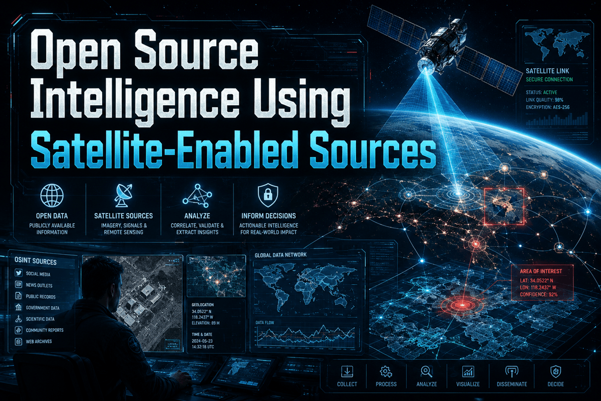
Why It Matters
Satellite‑enabled OSINT democratizes near‑real‑time geospatial insight for governments, businesses and NGOs, reshaping decision‑making while imposing new compliance and ethical responsibilities.
Key Takeaways
- •Public Earth observation offers free baseline imagery for long‑term analysis
- •Commercial constellations deliver sub‑meter resolution and daily revisit rates
- •SAR imaging provides all‑weather monitoring, crucial for flood and ice tracking
- •Legal licensing and privacy rules limit redistribution of high‑resolution data
Pulse Analysis
The rise of satellite‑enabled open‑source intelligence marks a watershed in how analysts gather and verify geospatial information. Public Earth observation programs—Copernicus Sentinel, USGS Landsat and NASA’s FIRMS—have lowered entry barriers, delivering free, globally consistent datasets that support climate research, land‑use monitoring and baseline change detection. Meanwhile, commercial providers such as Planet Labs, Maxar (formerly Vantor) and ICEYE supply daily coverage, sub‑meter optical detail and all‑weather SAR capabilities, enabling rapid response to disasters, supply‑chain disruptions and security events. This dual‑layered data ecosystem expands the analytical toolkit for governments, humanitarian groups and private firms alike.
Effective OSINT, however, hinges on rigorous verification rather than raw image access. Analysts must perform geolocation, chronolocation and cross‑source correlation—matching satellite pixels with AIS ship tracks, ADS‑B flight data, ground reports and historical archives—to eliminate false positives and bias. The process is complicated by sensor limitations, cloud cover, licensing restrictions and the potential for privacy infringements. Robust governance frameworks that document source provenance, legal constraints and uncertainty levels are essential to maintain credibility and avoid costly misinterpretations.
Looking ahead, the market for satellite‑enabled OSINT will be driven less by data volume than by the sophistication of analytical workflows and compliance mechanisms. Enterprises are integrating geospatial feeds into risk‑management platforms, commodity‑flow models and ESG reporting, while insurers and re‑insurers use high‑resolution imagery to refine catastrophe exposure. As regulatory scrutiny intensifies—particularly around high‑resolution imagery in conflict zones—organizations that embed ethical guidelines, staff training and automated quality‑control pipelines will capture the greatest strategic advantage. The future of OSINT lies in responsibly turning abundant orbital data into actionable, trustworthy insight.
Open Source Intelligence Using Satellite-Enabled Sources
Comments
Want to join the conversation?
Loading comments...