All-in-One SLAM LiDAR, RTK and 360° Imagery Scanner Launched
Why It Matters
The GX1 eliminates the trade‑off between speed and survey‑grade precision, addressing the industry’s talent shortage and client demand for faster, cheaper, high‑quality data. Its accuracy and flexibility give AEC firms a competitive edge on tight project timelines.
Key Takeaways
- •5‑10 mm global accuracy sets new survey standard.
- •Scanning time reduced up to 95 % versus traditional methods.
- •Integrated SLAM, RTK, and 360° cameras in single unit.
- •Four deployment modes increase flexibility for AEC projects.
- •Enables junior surveyors to deliver expert‑grade results quickly.
Pulse Analysis
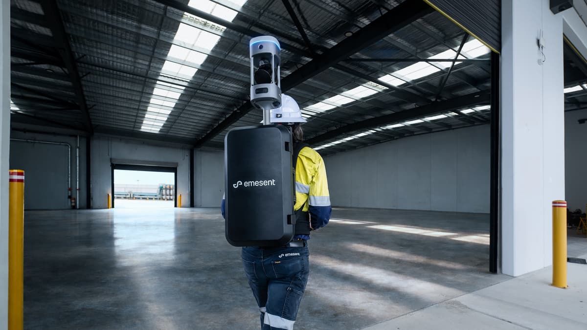
The convergence of SLAM and RTK technologies has reshaped mobile mapping, but most solutions forced users to choose between rapid data capture and survey‑grade accuracy. Emesent’s GX1 bridges that gap by embedding a proven SLAM algorithm—originally honed in GPS‑denied environments—directly with real‑time kinematic positioning and high‑resolution panoramic cameras. This fusion delivers 5‑10 mm global accuracy, a metric previously reserved for static total stations, while maintaining the speed of modern LiDAR scanners.
Beyond raw precision, the GX1’s modular design addresses practical field challenges. Its four deployment configurations—backpack, pole, vehicle mount, and handheld—allow teams to adapt to diverse site conditions, from confined underground tunnels to expansive road corridors. Integrated batteries and cable‑free operation simplify logistics, and the Aura processing software provides instant validation reports, reducing post‑processing bottlenecks. These capabilities make the device suitable for topographic surveys, construction progress monitoring, and Scan‑to‑BIM workflows, delivering reliable data that can be directly fed into design and asset‑management platforms.
For the AEC and surveying sectors, the GX1 arrives at a critical juncture marked by a shortage of skilled surveyors and escalating client expectations for rapid, cost‑effective deliverables. By democratizing high‑accuracy mobile scanning, Emesent empowers junior staff to produce expert‑level outputs, mitigating labor constraints and accelerating project timelines. Early adopters are likely to see improved bid competitiveness and reduced re‑survey costs, positioning the GX1 as a catalyst for broader digital transformation in construction and infrastructure development.
All-in-One SLAM LiDAR, RTK and 360° Imagery Scanner Launched
Comments
Want to join the conversation?
Loading comments...