Why FlightPath3D Stays Ahead of Geopolitics for Aviation Map Clients
•March 3, 2026
0
Key Takeaways
- •FlightPath3D updates geopolitical map data within 48 hours
- •Serves 90+ airlines, thousands of aircraft worldwide
- •Omni-channel delivery includes seatback, web, and cloud apps
- •Proactive monitoring avoids costly map controversies
- •Detailed onboarding guides airlines on regional naming standards
Summary
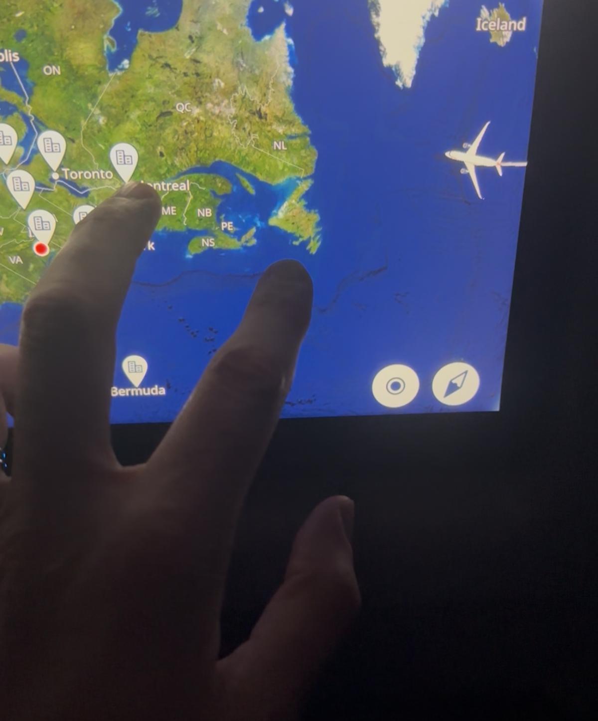
FlightPath3D, a leading 3‑D moving‑map supplier for more than 90 airlines, has built a rapid‑response system to update geopolitical changes on inflight displays. The firm monitors global disputes, executive orders and naming mandates, rolling out map revisions—such as the Taiwan labeling issue—within 48 hours across seat‑back, web and cloud platforms. Its omni‑channel approach ensures consistent destination content for mixed‑fleet IFE systems. By embedding detailed onboarding and advisory services, FlightPath3D helps carriers avoid the reputational risks illustrated by Air Canada’s map controversy.
Pulse Analysis
Geopolitical volatility has become a hidden cost driver for airlines, as map inaccuracies can trigger regulatory fines, diplomatic complaints, or passenger dissatisfaction. In‑flight entertainment (IFE) systems now act as real‑time geographic interfaces, meaning that a single naming error—like the mislabeling of Taiwan—can spark headlines and force carriers to suspend services. Airlines therefore demand map providers that not only reflect the latest official designations but also anticipate emerging disputes, ensuring compliance across jurisdictions and preserving brand trust.
FlightPath3D’s competitive edge lies in its end‑to‑end monitoring and deployment pipeline. The company maintains a dedicated watchlist of border changes, executive orders and naming mandates, feeding alerts directly into an automated update engine. When a change is flagged, the system generates a media package that can be pushed to seat‑back screens, companion apps and cloud‑based IFE platforms within hours. The Taiwan case demonstrated a 48‑hour turnaround, outpacing rivals that still required weeks for quoting and implementation. This speed is reinforced by an omni‑channel strategy that guarantees consistent cartography across heterogeneous aircraft fleets, reducing integration complexity for airline IT teams.
Looking ahead, the ability to swiftly adapt maps will become a differentiator as airlines expand into regions with fluid political landscapes. FlightPath3D’s proactive onboarding—complete with regional naming guidelines and risk assessments—positions it as a trusted partner rather than a mere data vendor. As AI‑driven geospatial analytics and cloud distribution mature, map providers that combine real‑time intelligence with rapid, multi‑platform delivery will help airlines navigate both literal and figurative terrain, turning a compliance challenge into a strategic advantage.
Comments
Want to join the conversation?