Federal Radar Data Supports North Dakota Drone Operations
Why It Matters
Unfiltered radar data dramatically improves safety and efficiency of drone missions, unlocking new public‑service and commercial uses across a largely rural state. The initiative positions North Dakota as a national benchmark for state‑level unmanned‑aircraft integration.
Key Takeaways
- •North Dakota gains exclusive access to unfiltered FAA radar data.
- •Vantis network enables BVLOS drone flights for infrastructure inspections.
- •Real‑time radar improves safety for public‑safety and emergency response.
- •State plans 140‑tower radio network to support statewide drone ops by 2027.
- •Program may become model for other states’ unmanned aircraft systems.
Pulse Analysis
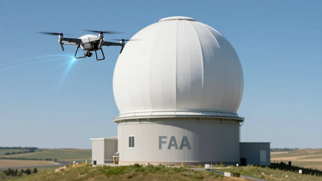
The Federal Aviation Administration’s decision to share raw radar feeds with North Dakota marks a watershed moment for state‑level unmanned‑aircraft systems. By integrating the data into Vantis—described as an interstate highway for drones—the state can monitor every UAS in real time, a prerequisite for safe beyond‑visual‑line‑of‑sight (BVLOS) flights. This level of situational awareness satisfies stringent FAA security standards while giving the North Dakota Department of Information Technology a powerful tool to manage airspace without compromising privacy or safety.
Beyond regulatory compliance, the radar feed unlocks practical applications that directly benefit citizens and businesses. In a state where severe weather can topple power lines across vast, hard‑to‑reach terrain, drones equipped with high‑resolution sensors can now be dispatched instantly to assess damage, reducing inspection times from days to hours. Public‑safety agencies such as fire departments and EMS will also gain rapid aerial intelligence, while the agricultural sector can leverage BVLOS routes for precision field surveys and targeted input delivery. The upcoming 140‑tower Statewide Interoperable Radio Network, slated for completion in 2027, will further cement reliable communications for these missions.
North Dakota’s pioneering effort serves as a template for other states seeking to modernize their airspace management. Continuous FAA validation ensures that data handling meets federal standards, while the collaborative framework—spanning technology, processes, and people—demonstrates a replicable model for public‑private partnerships. As more jurisdictions adopt similar radar‑enabled BVLOS capabilities, the ripple effect could accelerate innovation in logistics, disaster response, and rural connectivity, delivering economic growth and enhanced resilience across the United States.
Federal Radar Data Supports North Dakota Drone Operations
Comments
Want to join the conversation?
Loading comments...