New Drone Map Feature Helps UK Pilots Avoid Airspace Conflicts
Companies Mentioned
Why It Matters
Flight Reports reduces the risk of mid‑air conflicts and improves safety as the UK’s drone market expands, offering pilots a simple, community‑driven way to coordinate flights.
Key Takeaways
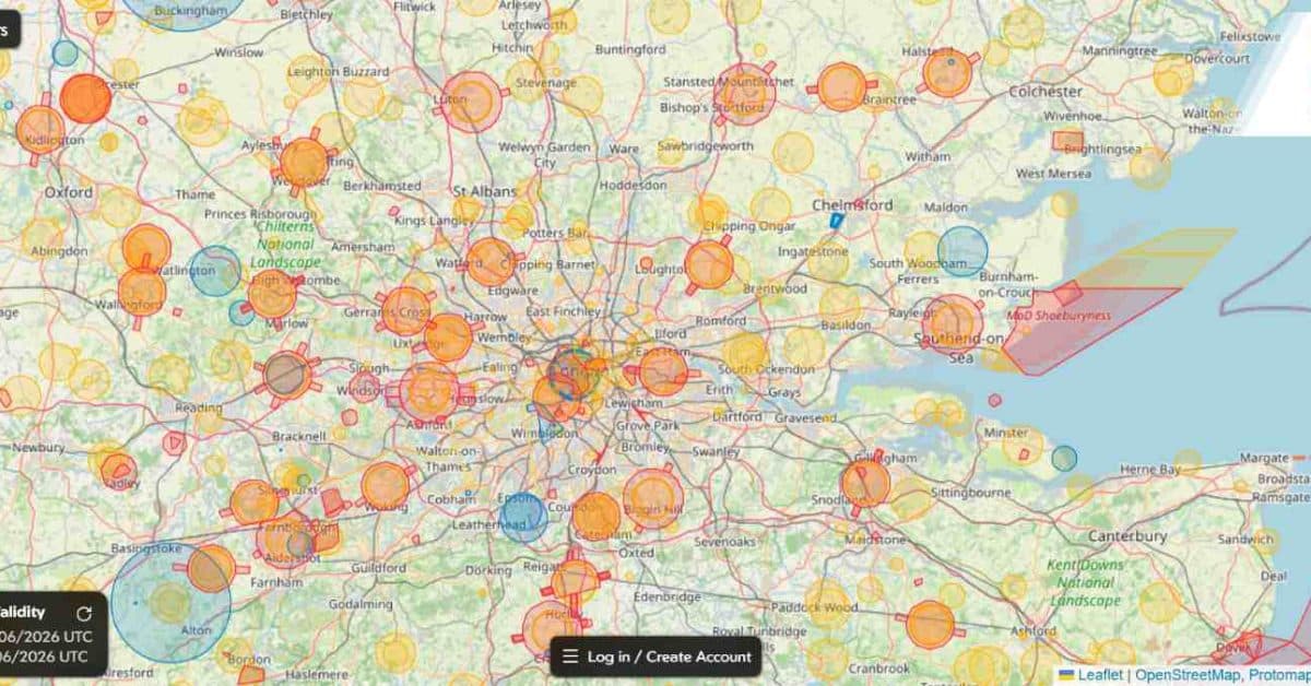
- •Flight Reports let pilots publish planned flight zones on The Drone Map.
- •Blue shapes on map indicate upcoming flights, enhancing situational awareness.
- •Secure messaging connects overlapping pilots without revealing personal contact info.
- •Tool complements CAA regulations, but does not replace official airspace checks.
Pulse Analysis
Drone adoption in the United Kingdom has accelerated across hobbyist, commercial and public‑service sectors, creating a crowded low‑altitude environment that traditional airspace charts struggle to represent in real time. The Drone Map’s Flight Reports fills that gap by allowing operators to plot intended flight corridors directly on a shared interface. By visualising planned operations as blue shapes, pilots gain immediate awareness of nearby activity, a capability previously limited to informal radio calls or ad‑hoc messaging groups.
Beyond simple visibility, the feature’s secure contact mechanism addresses privacy concerns while fostering collaboration. When two pilots discover overlapping flight plans, they can negotiate timing or altitude adjustments within the platform, mitigating the likelihood of near‑miss incidents. This community‑driven approach mirrors emerging UAS Traffic Management (UTM) concepts in the United States, where shared flight intent data is a cornerstone of safety. Integrating Flight Reports with the map’s existing hazard layers and CAA‑mandated restrictions creates a comprehensive situational‑awareness toolkit that is both user‑friendly and regulator‑compliant.
Looking ahead, Flight Reports could become a de‑facto standard for pre‑flight coordination in the UK, especially as the Civil Aviation Authority explores mandatory UTM solutions for higher‑risk operations. FPV UK’s backing lends credibility and may accelerate adoption among insurance providers and commercial operators seeking documented risk‑mitigation practices. As the ecosystem matures, the data generated by Flight Reports may feed into national airspace databases, informing policy decisions and enabling more sophisticated, automated conflict‑resolution services for the burgeoning drone economy.
New Drone Map feature helps UK pilots avoid airspace conflicts
Comments
Want to join the conversation?
Loading comments...