Rail Baltica Uses GIS to Collect and Deliver Construction Data via a Single Platform
Why It Matters
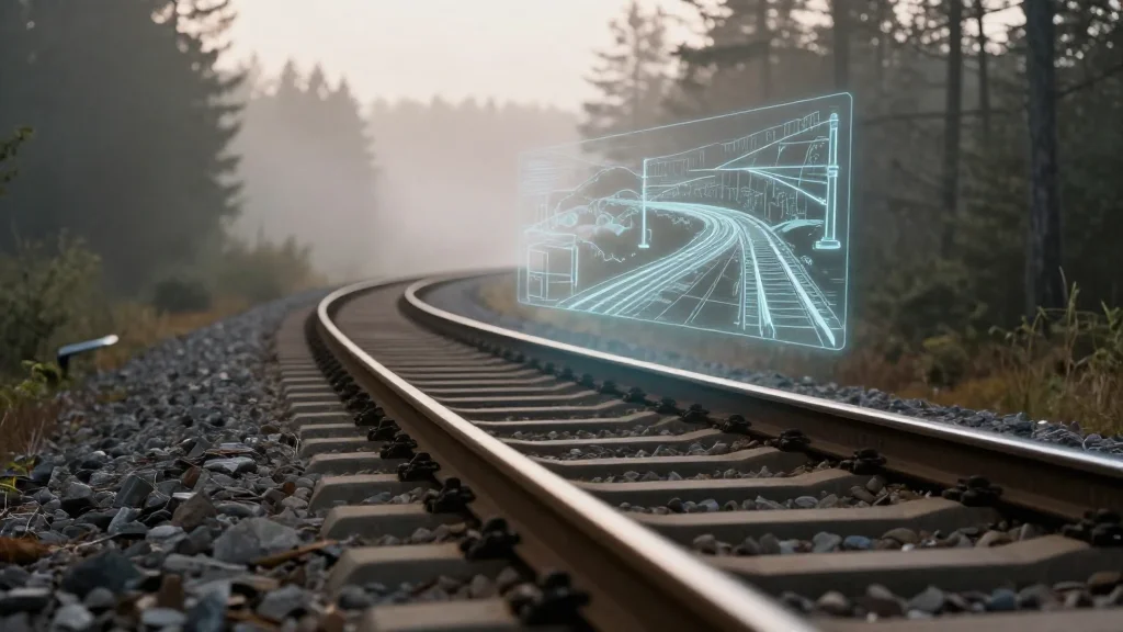
A single GIS platform slashes rework time, cuts costs, and preserves data across design, construction, and operations, setting a new efficiency benchmark for large‑scale infrastructure projects.
Key Takeaways
- •GIS unifies data from hundreds of contractors on one platform.
- •Weekly video catches construction defects months before LiDAR scans.
- •Digital twin ensures data persists from design to operation.
- •Standardised workflows reduce duplication and accelerate decision‑making.
- •Rail Baltica sets benchmark for digital sustainability in megaprojects.
Pulse Analysis
Rail Baltica’s decision to build a geospatial digital twin reflects a broader shift toward data‑centric megaproject delivery. By anchoring every track, bridge, utility and communication line in an Esri GIS, the railway creates a single source of truth that spans three nations. This approach not only streamlines coordination among hundreds of contractors but also embeds metadata standards that future operators can rely on, reducing the costly retro‑fit of legacy records that many older rail networks still grapple with.
The emphasis on simple, universally understood data formats—photos and weekly videos—has proven its worth. In one instance, video footage revealed incorrectly installed barriers weeks before a scheduled LiDAR survey could have identified the issue, saving months of rework and significant expense. Such early‑stage detection underscores how low‑cost, high‑frequency data can outperform high‑precision but slower technologies, fostering a cultural shift where on‑site teams monitor progress remotely and act faster.
Looking ahead, the GIS platform serves as the backbone for an evolving asset register that will persist into operations and maintenance phases. With AI‑assisted change detection on the horizon, Rail Baltica is poised to automate anomaly spotting, further compressing decision cycles. The project’s digital sustainability model—ensuring data never becomes obsolete—offers a replicable template for infrastructure developers worldwide, promising faster delivery, lower lifecycle costs, and a more resilient rail network for Europe’s future.
Rail Baltica Uses GIS to Collect and Deliver Construction Data via a Single Platform
Comments
Want to join the conversation?
Loading comments...