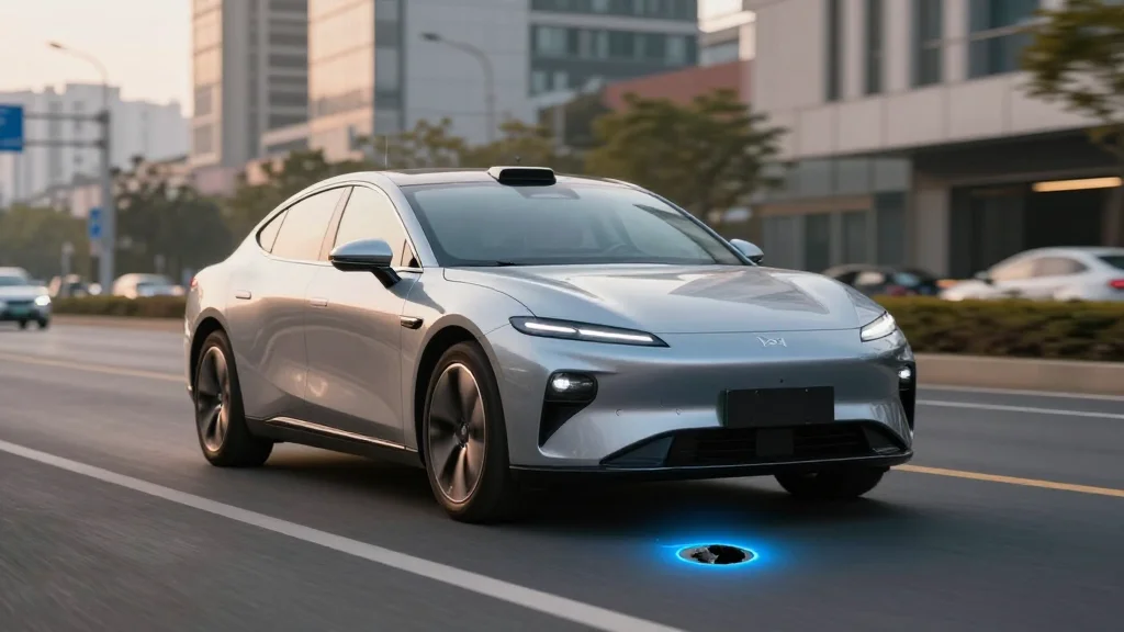
Waymo and Waze to Share Pothole Data with US Cities
Companies Mentioned
Why It Matters
The real‑time, sensor‑derived data gives cities a scalable tool to prioritize repairs, potentially reducing vehicle damage and traffic disruptions. Faster pothole remediation also improves safety for all road users and supports the broader rollout of autonomous fleets.
Key Takeaways
- •Waymo feeds AV-detected potholes into Waze for Cities platform.
- •Pilot covers San Francisco, Los Angeles, Phoenix, Austin, and Atlanta.
- •Over 500 potholes already identified by Waymo in the five metros.
- •City officials receive free, real‑time road‑condition data to prioritize repairs.
Pulse Analysis
Autonomous vehicles generate a wealth of high‑resolution sensor data as they navigate streets, yet most of that information remains siloed within manufacturers. By channeling Waymo’s pothole detections into the Waze for Cities platform, the pilot transforms raw perception data into actionable public‑sector intelligence. Municipal engineers gain a continuous, objective feed that complements citizen‑reported incidents, allowing them to map deterioration patterns and allocate crews more efficiently.
Waze’s existing user base adds a crowdsourced verification layer, where drivers can confirm or dispute a reported pothole directly in the app. This feedback loop refines detection accuracy and creates a transparent view of road conditions for everyday commuters. The five‑city rollout—spanning the tech‑heavy Bay Area to the rapidly expanding markets of Phoenix and Austin—demonstrates the model’s scalability across diverse climates and traffic volumes. Early results show roughly 500 potholes logged, offering cities a tangible dataset to prioritize repairs before damage escalates.
Beyond immediate maintenance benefits, the collaboration signals a broader shift toward public‑private data sharing in the mobility ecosystem. As autonomous fleets grow, their sensor suites could become a de‑facto national infrastructure monitoring network, reducing reliance on costly manual inspections. Cities that embrace such partnerships may see lower repair costs, fewer vehicle‑related accidents, and a smoother path for future AV deployment, reinforcing the economic case for smart‑city investments.
Waymo and Waze to share pothole data with US cities
Comments
Want to join the conversation?
Loading comments...