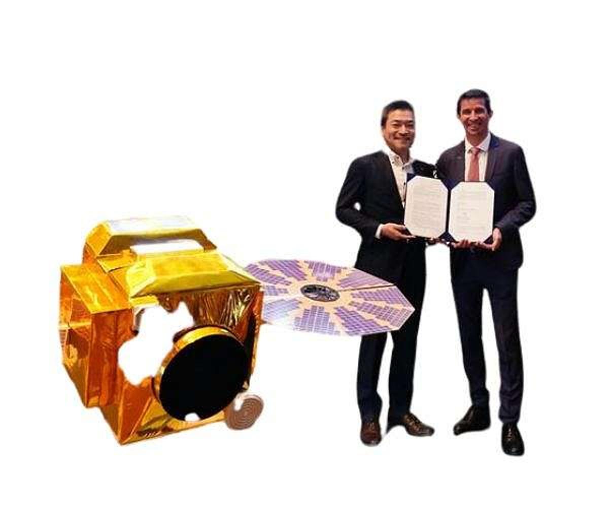
Airbus Taps Synspective SAR Radar Network for Expanded Earth Imaging
•February 19, 2026
0
Companies Mentioned
Why It Matters
The partnership boosts Airbus’s all‑weather imaging capability and market reach, while giving Synspective a European distribution channel for its expanding SAR constellation.
Key Takeaways
- •Airbus adds Synspective SAR data to its portfolio
- •Combined constellations improve revisit times over equatorial regions
- •25 cm resolution enables detailed infrastructure monitoring
- •Synspective aims for 30 satellites by 2030
- •Joint development targets rapid‑response and routine monitoring
Pulse Analysis
Airbus Defence and Space’s latest framework agreement with Japan’s Synspective marks a significant expansion of its synthetic‑aperture radar (SAR) capabilities. By integrating Synspective’s growing satellite constellation with its own TerraSAR‑X, TanDEM‑X and PAZ assets, Airbus creates a multi‑source radar network that can deliver more frequent observations worldwide. The partnership reflects a broader trend of cross‑border collaboration in space‑based Earth observation, where European and Asian firms pool technology to meet rising demand for all‑weather, high‑resolution imagery from both governmental and commercial customers.
The combined fleet promises notably shorter revisit intervals, especially over the equatorial belt where cloud cover traditionally hampers optical sensors. Synspective’s satellites can provide up to 25‑centimetre resolution in Staring SpotLight and StripMap modes, delivering granular views of urban infrastructure, critical facilities and terrain changes. Such detail supports defence surveillance, disaster‑response mapping, and infrastructure health monitoring, even in darkness or heavy precipitation. By offering short‑term capacity and redundancy, the joint network enhances data reliability for time‑sensitive missions such as flood assessment or rapid damage appraisal after earthquakes.
Strategically, the deal strengthens Airbus’s position as a multi‑source intelligence provider and deepens Europe‑Japan cooperation in the high‑value SAR market. With Synspective targeting a 30‑satellite constellation by the decade’s end, the partnership ensures a scalable data pipeline that can adapt to evolving customer requirements across Europe, Asia and beyond. The collaboration also opens avenues for co‑developed processing tools and value‑added services, potentially accelerating the commercialization of SAR analytics. As demand for resilient, cloud‑penetrating imagery grows, the expanded network positions both companies to capture a larger share of the global Earth‑observation revenue stream.
Airbus taps Synspective SAR radar network for expanded Earth imaging
0
Comments
Want to join the conversation?
Loading comments...