Why It Matters
Early drought forecasts give municipalities, farmers, and recreation planners critical lead time to mitigate water shortages, potentially reducing economic losses and ecosystem stress.
Key Takeaways
- •River DroughtCast forecasts drought up to 90 days nationwide.
- •Covers 3,000+ USGS stream‑gage sites with 40+ years data.
- •First‑week severe drought prediction accuracy ~75%; week‑13 ~55%.
- •Users receive confidence estimates for each forecast interval.
- •Next version aims to include ungauged regions and higher accuracy.
Pulse Analysis
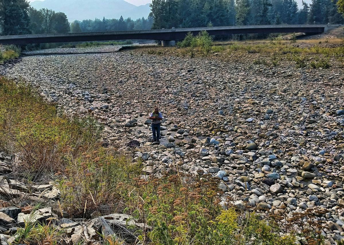
The United States faces increasingly volatile precipitation patterns, making proactive water‑resource management a national priority. In response, the U.S. Geological Survey unveiled River DroughtCast, a machine‑learning platform that projects streamflow drought conditions up to 90 days ahead across the continental United States. By ingesting more than a century of continuous gauge records, the system identifies subtle hydrologic signals that traditional models often miss. This data‑driven approach aligns with broader federal efforts to integrate advanced analytics into environmental monitoring, offering a scalable tool for both local and regional decision‑makers.
River DroughtCast delivers forecasts for over 3,000 USGS stream‑gage sites, each with at least four decades of observations. Users can select forecast windows ranging from one to thirteen weeks, with the model achieving roughly 75 % accuracy in identifying severe or extreme drought during the first week and about 55 % by the thirteenth week. Every prediction is paired with a confidence estimate, allowing water utilities, farmers, and recreation planners to weigh risk against operational constraints. Early warnings enable pre‑emptive water‑allocation strategies, potentially averting costly supply shortfalls and protecting aquatic ecosystems.
The agency’s roadmap includes extending coverage to ungauged basins and refining algorithms to boost long‑term reliability. Incorporating satellite‑derived soil moisture and climate‑model outputs could close data gaps, delivering actionable insights to regions currently blind to drought risk. As climate change intensifies drought frequency, such predictive capacity becomes a strategic asset for municipalities, insurance firms, and investors monitoring water‑related exposure. Ultimately, River DroughtCast exemplifies how public‑sector science, bolstered by artificial intelligence, can translate raw hydrologic data into tangible economic resilience.
USGS releases new drought forecasting tool
Comments
Want to join the conversation?
Loading comments...