Waymo and Waze Launch Pothole‑Patch Pilot Using Autonomous Fleet Data in Five U.S. Cities
Why It Matters
The pilot demonstrates a practical, public‑service use case for autonomous‑vehicle sensor data, moving the technology from a novelty to a civic utility. By turning robotaxi perception into actionable road‑maintenance intelligence, cities can close reporting gaps, allocate resources more efficiently, and potentially reduce vehicle damage and accidents caused by potholes. Beyond immediate repairs, the initiative signals a shift in how autonomous‑driving companies engage with regulators and the public. Providing tangible community benefits may smooth the path for future permits, especially in jurisdictions that have been cautious about granting autonomous‑vehicle rights of way. The collaboration also creates a new data‑monetization avenue for Waymo, leveraging its sensor suite for services beyond passenger transport.
Key Takeaways
- •Waymo and Waze launch a pothole‑mapping pilot in five U.S. cities.
- •Approximately 500 potholes have already been identified in the San Francisco Bay Area.
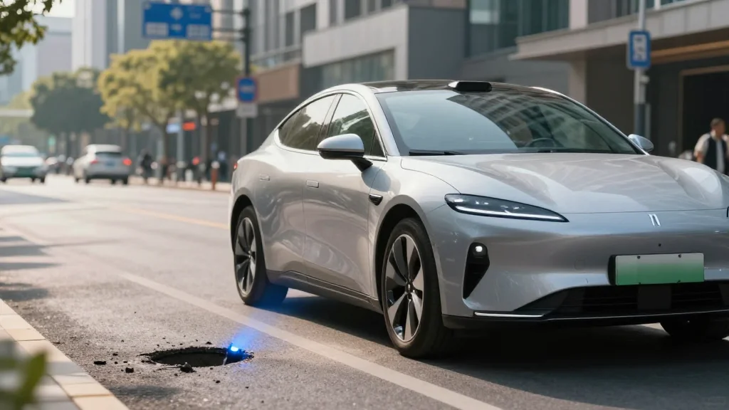
- •Waymo’s robotaxis use cameras, lidar, radar and other sensors to detect road‑surface defects.
- •Data will be shared with municipal DOTs via the free Waze for Cities app and visible to all Waze users.
- •The partnership aims to expand to additional cities and potentially other roadway hazards.
Pulse Analysis
Waymo’s decision to package sensor data as a public‑infrastructure service is a strategic play to cement its role as a city partner rather than a disruptive outsider. Historically, autonomous‑vehicle firms have struggled with regulatory friction, often needing to prove safety before gaining access to streets. By offering a direct benefit—faster pothole repairs—Waymo flips the narrative, positioning its fleet as a maintenance asset that municipalities can’t afford to ignore. This approach could accelerate permit approvals in new markets, especially as the company eyes a rollout to more than 20 cities this year.
The pilot also underscores the untapped value of high‑definition perception data. While most autonomous platforms focus on navigation and safety, the granular road‑surface information collected by Waymo’s lidar and camera suite is uniquely suited for infrastructure monitoring. If the pilot proves accurate and cost‑effective, it could spawn a new industry of “sensor‑as‑a‑service” offerings, where autonomous fleets sell road‑condition data to municipalities, utilities, and even insurance firms. Competitors like Tesla, which rely on driver‑generated data, may find themselves at a disadvantage unless they develop comparable fleet‑wide sensing capabilities.
Finally, the collaboration highlights a broader trend of tech firms leveraging their platforms for civic good to build public trust. As autonomous vehicles become more prevalent, the social license to operate will hinge on demonstrable community benefits. Waymo’s pothole‑patch pilot could become a template for future partnerships—ranging from real‑time snow‑plow routing to bridge‑inspection drones—thereby embedding autonomous technology into the fabric of urban management rather than keeping it confined to private mobility services.
Waymo and Waze Launch Pothole‑Patch Pilot Using Autonomous Fleet Data in Five U.S. Cities
Comments
Want to join the conversation?
Loading comments...