Waymo Teams with Waze to Map 500 Potholes in Pilot Across Five U.S. Cities
Companies Mentioned
Why It Matters
The Waymo‑Waze pilot illustrates how autonomous‑vehicle sensor data can be repurposed for public good, turning a private safety advantage into a municipal asset. By providing a near‑real‑time pothole map, cities can prioritize repairs more efficiently, potentially reducing vehicle damage, accidents, and maintenance backlogs. The initiative also tests a new business model for AV firms: contributing data in exchange for regulatory goodwill and community trust, which could smooth the path for broader deployment of self‑driving services. If successful, the model could catalyze a wave of data‑sharing agreements across the autonomous industry, prompting infrastructure agencies to integrate AI‑derived insights into their asset‑management systems. This would mark a shift from reactive, complaint‑driven maintenance to proactive, sensor‑driven road stewardship, reshaping how municipalities allocate limited budgets and how AV companies demonstrate societal value.
Key Takeaways
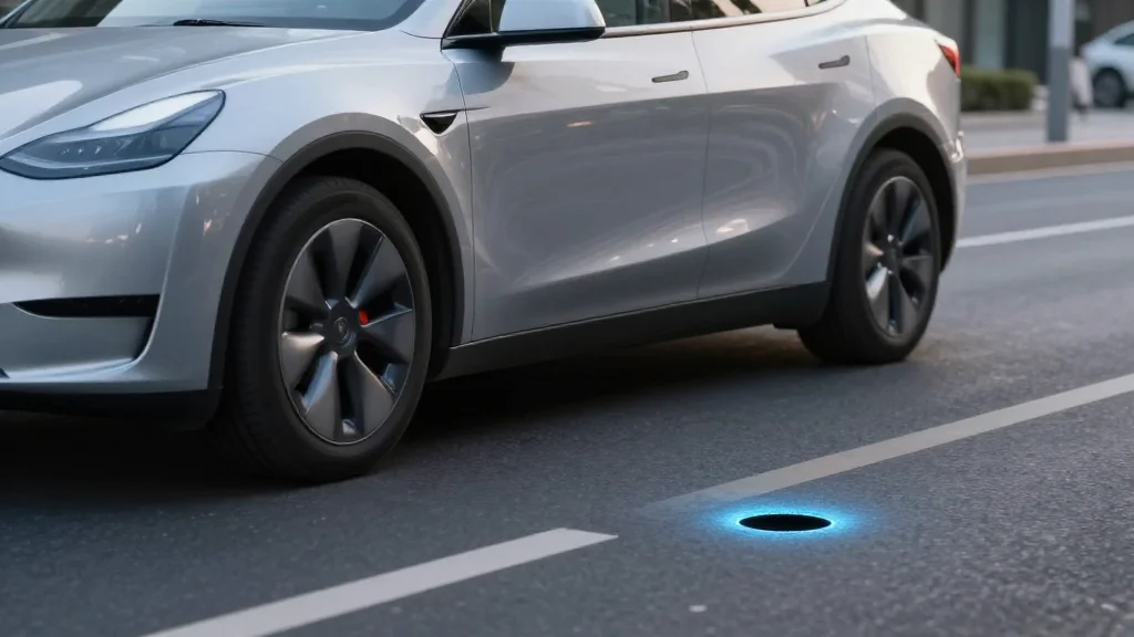
- •Waymo and Waze launch a pilot in five U.S. cities to share pothole data via Waze for Cities.
- •Approximately 500 potholes have already been identified by Waymo’s robotaxi sensors.
- •Data will be visible to both municipal agencies and Waze app users for verification.
- •Mayor Matt Mahan and NYU’s Sarah Kaufman praise the public‑service angle; Sen. Dave Cortese warns of funding gaps.
- •Pilot to expand to additional cities and winter‑prone regions after an initial six‑month review.
Pulse Analysis
Waymo’s decision to open its sensor data to municipalities is a strategic move that balances regulatory risk with brand positioning. Historically, autonomous firms have guarded operational data to protect proprietary algorithms and avoid liability. By sharing pothole locations, Waymo not only showcases the safety benefits of its fleet but also creates a tangible public‑service narrative that can defuse criticism about autonomous vehicles operating on public roads.
The partnership also leverages Waze’s massive user base, turning a crowdsourced platform into a hybrid human‑machine reporting system. This dual‑source approach improves data fidelity: human users can confirm or reject Waymo‑detected anomalies, reducing false positives that could otherwise erode trust. For cities, the value proposition is clear—more accurate, timely information without the need to expand staff or invest in new sensor infrastructure.
However, the initiative’s long‑term impact hinges on municipal capacity to act on the data. As Sen. Cortese points out, identifying potholes is only half the battle; funding repairs remains a chronic challenge. If Waymo and Waze can demonstrate that their data leads to measurable reductions in vehicle damage claims or accident rates, they may persuade lawmakers to allocate dedicated repair budgets, turning a data‑sharing pilot into a catalyst for infrastructure investment. The next six months will be a litmus test for whether autonomous‑vehicle data can transition from a novelty to a cornerstone of smart‑city road‑maintenance strategies.
Waymo Teams with Waze to Map 500 Potholes in Pilot Across Five U.S. Cities
Comments
Want to join the conversation?
Loading comments...