

The Unfortunately Accurate Map About American Infrastructure
The video uses an updated county‑level map to illustrate how American infrastructure is overwhelmingly car‑centric, contrasting the dense, transit‑rich Northeast with the sprawling suburbs that dominate the rest of the country. It traces the post‑World War II boom that gave returning GIs affordable homes in newly built suburbs, assuming cheap gasoline would keep commuting costs low. The 1970s oil shock exposed the fragility of that model, yet federal policy focused on fuel‑economy standards rather than expanding public transit, leaving most counties with negligible ridership. The creator points to visual cues—such as the “Republic of New Jersey” and the tongue‑in‑cheek “American Dubai” label for Florida—to highlight regional disparities. He argues that isolated car‑dependent lifestyles funnel residents toward conservative talk radio, podcasts like The Joe Rogan Experience, and voting patterns that reinforce the status quo. The map underscores that infrastructure decisions are not merely engineering choices; they shape wealth accumulation, social cohesion, and political power. Recognizing these links could spur investment in multimodal transit, reducing energy vulnerability and mitigating polarization.
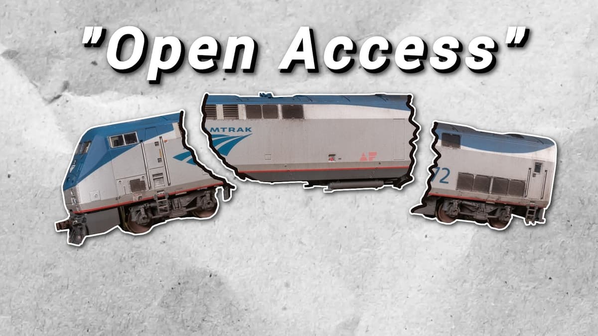
Are the Feds Privatizing Amtrak?
The video examines a circulating proposal to break up Amtrak and place its operations, rolling stock, infrastructure and real‑estate under a new holding company, effectively moving the passenger railroad toward a privatized, open‑access model. The creator points out that Amtrak has...

Amtrak Is Betting Its Future on This Train
The video spotlights Amtrak’s latest rolling stock, the Aerot train, slated to replace legacy equipment on corridors such as Cascades, Midwest Ventures and Brightline. Built as a semi‑permanent six‑car set, the design blends high‑speed capability with passenger‑focused amenities, signaling the...