Forecasting Solar Irradiance in Urban Environments with Just One 360° Image
Why It Matters
Accurate, low‑cost solar forecasting in dense urban settings speeds rooftop and façade solar adoption and improves project return on investment.
Key Takeaways
- •Single 360° image predicts annual solar panel output without 3D models
- •Neural network infers sun and gravity directions from visual cues alone
- •Scene irradiance contributes ~12% of total panel energy in urban canyons
- •Validated in four cities, maintaining low error across weather conditions
- •Portable method enables homeowners and firms to optimize panel orientation quickly
Pulse Analysis
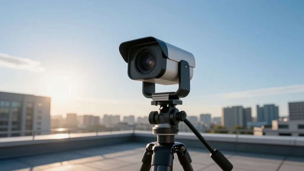
Urban solar developers have long wrestled with the lack of precise irradiance data for complex cityscapes. Traditional workflows rely on 3D city models that often miss small but influential objects—signs, vents, parapets—leading to inaccurate energy estimates. Moreover, magnetic disturbances render inertial sensors unreliable in dense environments, forcing engineers to depend on costly, time‑consuming simulations. The new Columbia‑based technique sidesteps these hurdles by leveraging a single high‑dynamic‑range 360° image, turning visual cues into reliable forecasts without the overhead of full‑scale modeling.
The core of the system is a deep neural network trained on synthetic hemispherical images and fine‑tuned with real urban data. It predicts sun and gravity vectors directly from the image, then aligns them with Earth‑frame coordinates derived from GPS, date and time. By separating irradiance into sun, sky and a novel "scene" component—accounting for reflections and shading from nearby structures—the model captures about 12% of total energy that conventional methods overlook. Field tests in four varied urban sites demonstrated consistent accuracy across clear, partly cloudy and overcast skies, with the algorithm reliably tracking sharp irradiance changes as the sun moves in and out of the sky aperture.
For the solar market, this breakthrough translates into faster, cheaper site assessments and more confident investment decisions. Homeowners can now evaluate potential rooftop or façade installations on a weekend, while large developers gain a scalable tool to optimize panel orientation across entire city blocks. The portability and low cost of a single 360° capture could accelerate the rollout of vertical‑wall solar farms, unlocking surface area previously deemed too complex to model. As urban renewable penetration grows, such image‑driven forecasting is poised to become a standard component of solar project planning.
Forecasting solar irradiance in urban environments with just one 360° image
Comments
Want to join the conversation?
Loading comments...