66 New Bikepacking Routes Connect 12 Towns Across West Virginia’s Monongahela National Forest
Why It Matters
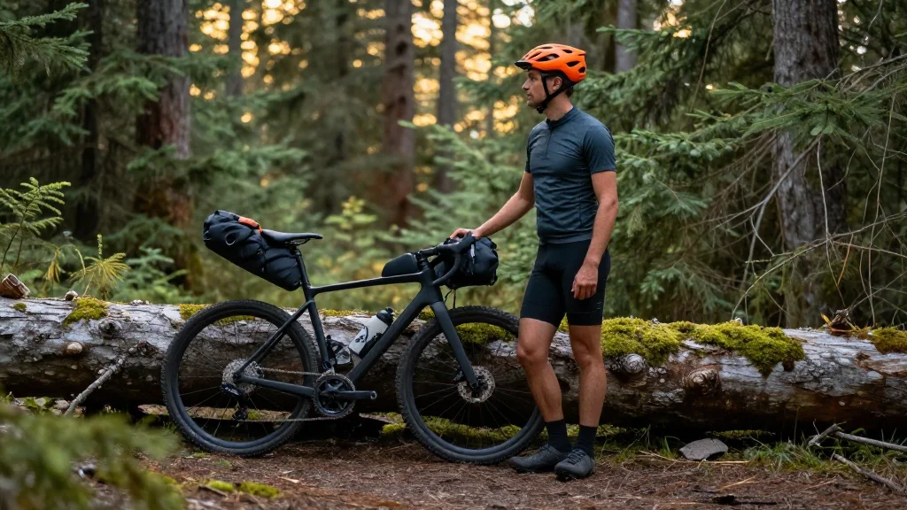
The network positions the Monongahela National Forest as a premier gravel‑bike destination, driving tourism, bolstering local economies, and expanding the U.S. bikepacking market.
Key Takeaways
- •66 routes span 10‑100 miles across 12 West Virginia towns.
- •594‑mile Mon Circuit climbs 55,000 vertical feet, linking all towns.
- •Collections include day rides, overnighters, and 100+‑mile backpacking routes.
- •Connections to GAP, C&O Canal, and Mountaineer Gravel extend regional access.
- •Offline GPS navigation required; limited cell service emphasizes self‑reliance.
Pulse Analysis
Gravel bikepacking has surged in popularity across the United States, yet the Eastern region has lagged behind the West in terms of cohesive, long‑distance route systems. The Mon Forest Gravel and Bikepacking Route Network fills that gap by offering a meticulously curated 66‑route web that showcases the rugged Appalachian terrain of West Virginia’s Monongahela National Forest. By leveraging existing forest roads, historic rail‑trail corridors such as the Great Allegheny Passage, and connections to the C&O Canal Towpath, the network creates a seamless transition from urban gateways like Washington, DC, to remote backcountry loops, appealing to both novice cyclists and seasoned ultra‑endurance riders.
Beyond the adventure appeal, the network is a catalyst for economic revitalization in the 12 small towns that dot the forest. Riders can refuel, rest, and experience local hospitality, injecting revenue into restaurants, lodging, and outdoor‑gear retailers during the May‑October riding season. The 594‑mile Mon Circuit, with its 55,000 feet of climbing, is poised to become a marquee event route, potentially attracting organized races, charity rides, and guided tours that further amplify tourism dollars. Moreover, the collaborative model—uniting trail advocacy groups, local governments, and Ride with GPS—demonstrates a scalable blueprint for other regions seeking to develop multi‑use trail economies.
The network’s design acknowledges the inherent challenges of remote riding: limited cell coverage, unmarked paths, and the need for offline GPS navigation. By providing detailed digital maps, terrain‑specific bike recommendations, and curated collections for beginners through expert backpackers, the project lowers the barrier to entry while preserving the wilderness experience. As climate‑friendly outdoor recreation continues to grow, the Mon Forest initiative positions West Virginia as a leading destination for sustainable adventure tourism, setting the stage for future expansions that could integrate electric‑assist gravel bikes and seasonal events, further solidifying its place in the national bikepacking landscape.
66 new bikepacking routes connect 12 towns across West Virginia’s Monongahela National Forest
Comments
Want to join the conversation?
Loading comments...