Why It Matters
onX transforms traditional turkey scouting into a precise, data‑rich process, boosting harvest efficiency and reducing time spent in the field. This signals broader adoption of GIS‑based tools across outdoor sports industries.
Key Takeaways
- •onX’s habitat layers pinpoint deciduous roosts and early‑succession forage
- •3D LiDAR topo maps reveal subtle elevation changes for stealth positioning
- •Compass mode lets hunters locate gobbles and drop pins in real time
- •Recent imagery shows current water levels and recent burn zones
- •Blending app data with field scouting increased the authors’ turkey harvest
Pulse Analysis
The rise of geographic‑information‑system (GIS) platforms has reshaped how hunters plan trips, and onX stands at the forefront for turkey enthusiasts. By layering tree types, soil composition, and recent satellite imagery, the app offers a granular view of habitat that mirrors professional wildlife surveys. This level of detail lets hunters identify hardwood roosts, early‑succession foraging patches, and even post‑fire regeneration zones—features traditionally reserved for land managers and biologists.
Beyond static layers, onX’s 3D topographic maps leverage high‑resolution LiDAR to exaggerate terrain contours, revealing subtle ridges and depressions that can hide a hunter or a bird. Elevation exaggeration helps users visualize line‑of‑sight obstacles, enabling strategic blind placement and movement routes. When paired with the Compass mode, which translates gobble direction into a pinpointed map pin, hunters can triangulate turkey locations in real time, turning auditory cues into actionable coordinates without guesswork.
The practical payoff is evident: the South Dakota case study showed a marked increase in turkey harvest after integrating app data with on‑the‑ground scouting. For the broader outdoor industry, this illustrates a shift toward data‑driven fieldcraft, opening revenue streams for subscription‑based mapping services and partnerships with land‑owner databases. As more hunters adopt these tools, we can expect tighter feedback loops between user observations and map updates, further refining the precision of wildlife management and recreational hunting alike.
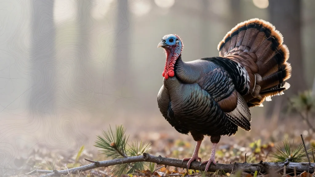
How to Use onX to Kill More Turkeys
Comments
Want to join the conversation?
Loading comments...