New Lidar Study Redefines Amazon’s ‘Lost City’ as Low‑Density Urban Network
Why It Matters
The Lidar‑driven revelation of a low‑density, multicentric urban network forces scholars to rethink models of social organization in the Amazon, moving beyond the simplistic hunter‑gatherer paradigm. It also spotlights the vulnerability of archaeological sites hidden beneath tropical canopies, emphasizing the need for rapid documentation and protective policies as deforestation accelerates. For the broader outdoors community, the study highlights the intersection of cutting‑edge technology, cultural heritage, and environmental stewardship, illustrating how modern exploration tools can uncover hidden histories while underscoring the responsibility to preserve them. Beyond academia, the findings could boost eco‑tourism in eastern Ecuador, offering travelers a chance to experience a landscape that blends natural beauty with ancient human ingenuity. However, increased visitation must be balanced with strict site management to prevent damage, making the research a catalyst for dialogue between archaeologists, policymakers, and the outdoor recreation industry.
Key Takeaways
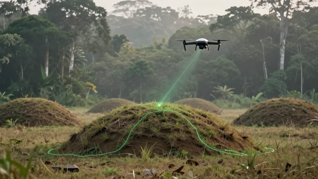
- •Lidar mapping covered 600 sq km (230 sq mi) of the Upano River valley, revealing a 3,000‑year‑old mound network.
- •Eight geometrically arranged mounds and long pathways indicate a multicentric, low‑density urban system.
- •The discovery challenges the long‑held view of Amazonian societies as solely nomadic hunter‑gatherers.
- •Researchers plan excavations of a central mound first opened by Jesuit priest Pedro Porras in 1978.
- •Conservationists warn that deforestation and mining threaten the newly identified archaeological landscape.
Pulse Analysis
The Ecuadorian Lidar survey marks a watershed moment for Amazonian archaeology, not because it uncovers a single "lost city" but because it validates a model of dispersed, networked settlements that functioned without the dense cores typical of Old World cities. Historically, the Amazon has been portrayed as a wilderness untouched by complex human design, a narrative that justified large‑scale resource extraction. This new evidence forces a reassessment of that narrative, suggesting that ancient peoples engineered their environment in ways that were both resilient and adaptable to the rainforest’s constraints.
From a market perspective, the study could stimulate investment in remote‑sensing technologies for heritage preservation worldwide. Companies that provide aerial Lidar services may see heightened demand from governments and NGOs seeking to inventory hidden cultural assets before they are lost to development. Moreover, the tourism sector stands to benefit if Ecuador can responsibly market the Huapula network as a unique cultural‑natural attraction, potentially generating revenue that funds site protection.
Looking ahead, the integration of indigenous oral histories with high‑resolution spatial data could set a new standard for collaborative archaeology. Such partnerships would not only enrich scientific interpretations but also empower local communities, giving them a stake in managing and profiting from their heritage. The challenge will be to balance access with preservation, ensuring that the excitement generated by this discovery does not become a catalyst for its own destruction.
New Lidar Study Redefines Amazon’s ‘Lost City’ as Low‑Density Urban Network
Comments
Want to join the conversation?
Loading comments...