The West Coast Snow Map Is Bleeding Red—And for PCT Hikers, That Means Trouble
Why It Matters
Low snowpack threatens hiker safety and highlights broader drought trends that affect recreation and water supply across the western United States.
Key Takeaways
- •Klamath Basin snow at 4% of 30‑year median.
- •Early snowmelt leads to peak river flows in spring.
- •Water scarcity forces hikers to carry extra liters daily.
- •Wildfire risk heightened; check forecasts and incident logs.
Pulse Analysis
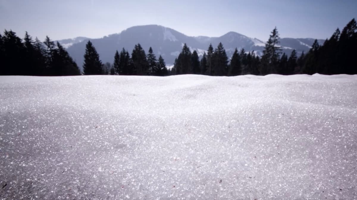
A historically warm winter has left the western United States with a snowpack far below normal. The latest NOAA data shows the Klamath Basin holding only 4% of its 30‑year median snow depth, while much of California, Oregon, and Washington report negligible accumulation. This deficit is a direct symptom of a shifting climate pattern that produces hotter, drier winters, accelerating snowmelt and depleting the natural water reservoirs that traditionally sustain the Pacific Crest Trail (PCT) during the spring hiking season.
For thru‑hikers, the immediate challenges are tangible. Early snowmelt forces rivers to peak weeks ahead of schedule, creating swift, cold currents that can overwhelm inexperienced crossing attempts. Simultaneously, dwindling snowpack translates to fewer reliable water sources along the high country, meaning hikers must plan for an extra liter of fluid loss per hour in hot conditions and carry additional reserves or filtration gear. The reduced moisture also dries vegetation, raising the probability of wildfires that can close trail segments, damage infrastructure, and create hazardous air quality. Proactive measures—such as consulting real‑time incident logs, weather alerts, and local ranger reports—are now essential components of any PCT itinerary.
Beyond individual safety, the low‑snow scenario signals broader economic and environmental implications. Outdoor tourism operators that depend on the PCT’s seasonal traffic may see reduced bookings as hikers opt for shorter trips or alternative routes. Water managers face heightened pressure to allocate limited supplies between ecological needs, municipal demand, and recreation. As climate models predict more frequent droughts, trail authorities are likely to adopt stricter permitting processes, invest in water cache installations, and collaborate with fire‑prevention agencies to mitigate risk. Understanding these evolving dynamics equips hikers, businesses, and policymakers to navigate a future where the iconic red‑lined snow map becomes the new normal.
The West Coast Snow Map is Bleeding Red—and for PCT Hikers, That Means Trouble
Comments
Want to join the conversation?
Loading comments...