Spell Your Name with NASA’s Earthly Alphabet of Aerial Images
Key Takeaways
- •Landsat provides continuous Earth imaging since 1972
- •NASA/USGS launched a name generator for Earth Day 2026
- •Tool converts any word into terrain‑based letter snapshots
- •Each letter links to precise coordinates and full Landsat data
- •Open data fosters education, research, and public engagement
Pulse Analysis
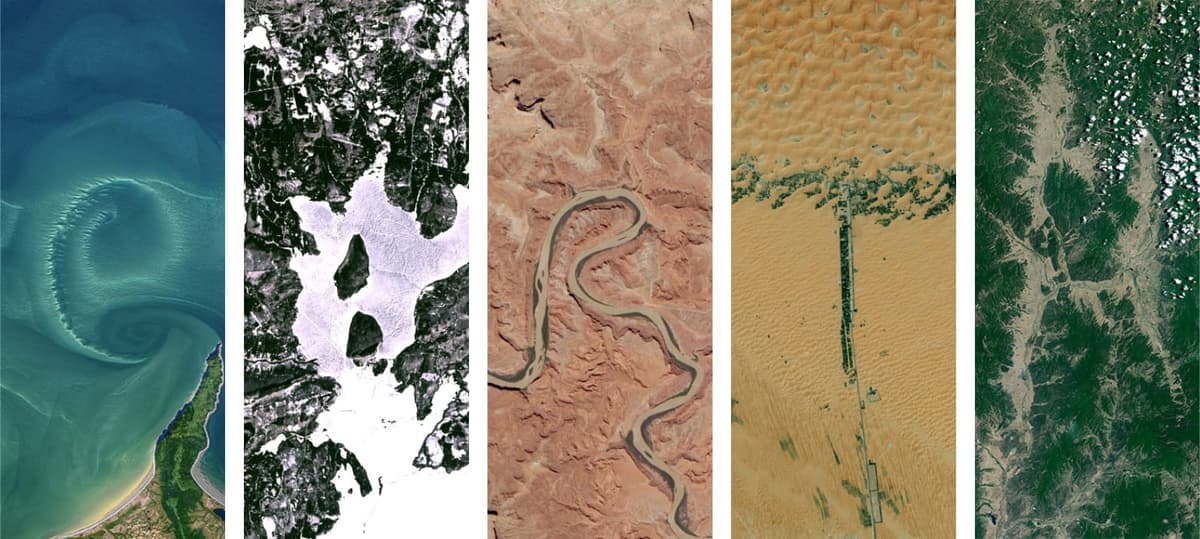
The Landsat program, a joint effort between NASA and the USGS, has been capturing the planet’s surface every few days since the early 1970s. Over 50 years of multispectral imagery have built an unparalleled archive that scientists use to track deforestation, urban expansion, glacier retreat, and agricultural trends. By maintaining a free, open‑access policy, Landsat empowers researchers, policymakers, and developers worldwide to build climate‑resilient solutions without costly data barriers.
In a creative twist for Earth Day 2026, the agencies introduced a name‑generator that maps user‑entered words onto vertical slices of this massive archive. Each letter is represented by a real-world feature—ranging from Antarctic ice caps to Norwegian lakes—rendered in vivid, digitally enhanced colors. The interface not only spells out names but also reveals exact geographic coordinates, allowing users to explore the underlying data layers, metadata, and temporal histories behind each snapshot.
Beyond novelty, the tool serves a strategic outreach purpose. It demystifies remote sensing by turning abstract pixels into familiar symbols, encouraging a broader audience to appreciate the richness of Earth observation. As climate challenges intensify, such public‑facing applications help cultivate data literacy, inspire citizen‑science projects, and reinforce the importance of sustained, open satellite monitoring for informed decision‑making. The Landsat name generator exemplifies how legacy scientific assets can be repurposed to spark curiosity and support a data‑driven society.
Spell Your Name with NASA’s Earthly Alphabet of Aerial Images
Comments
Want to join the conversation?