Boston Launches Curb Lab to Digitise and Coordinate Kerb Space
•February 20, 2026
0
Why It Matters
Digitizing curb space gives Boston a data‑driven tool to alleviate congestion and improve accessibility, setting a replicable model for smart‑city mobility management.
Key Takeaways
- •AI creates live digital map of Boston's curb rules
- •Open data portal shares parking info publicly for residents
- •Metrics track occupancy, turnover, and traffic congestion
- •SMART grant funded AI tools for sign data analysis
- •Governance aligns siloed parking systems via Curb Coordination Committee
Pulse Analysis
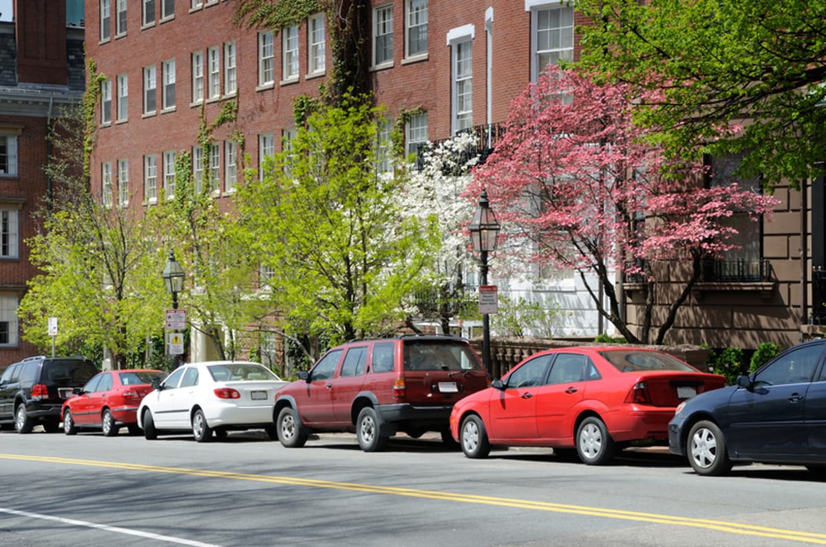
Boston’s curb management challenges—rising rideshare activity, e‑commerce deliveries, and a growing vehicle fleet—have turned the sidewalk edge into a bottleneck for urban mobility. By converting centuries of parking ordinances into a dynamic digital map, the Curb Lab gives planners and drivers a single source of truth. This real‑time visibility reduces the guesswork that fuels cruising and illegal parking, directly addressing congestion hotspots that traditional enforcement struggled to resolve.
The technical backbone of the Lab rests on a city‑wide asset‑management system that catalogues every traffic sign, coupled with AI models funded by the federal SMART grant. These models parse sign imagery to extract rule sets, then publish them through Boston’s open‑data portal. Residents can instantly query whether a spot is legal, while the city monitors occupancy, turnover rates, and dwell‑time violations to fine‑tune curb allocation. The initiative also introduces privacy‑preserving analytics alongside camera feeds, ensuring compliance with emerging data‑ethics standards.
Beyond immediate traffic gains, the Curb Lab signals a broader shift toward integrated, multimodal urban planning. By breaking down silos between parking, transportation, and accessibility departments, Boston creates a scalable framework that other municipalities can emulate. The resulting trust—moving from anxiety over tickets to confidence in public space—enhances the city’s appeal for businesses, residents, and visitors alike, reinforcing Boston’s reputation as a leading smart‑city pioneer.
Boston launches Curb Lab to digitise and coordinate kerb space
0
Comments
Want to join the conversation?
Loading comments...