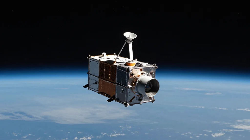
India's Mission Drishti OptoSAR Satellite Launch Marks GovTech Leap in All‑Weather Imaging

Companies Mentioned

Why It Matters
Mission Drishti represents a tangible shift in how governments can harness private‑sector innovation for public‑good outcomes. By delivering consistent, all‑weather imagery, the satellite can dramatically improve disaster‑response timelines, reducing loss of life and economic damage during floods, cyclones and landslides. For security agencies, the same capability offers persistent border monitoring without the need for costly ground‑based radar networks. The launch also raises broader policy questions about data ownership, privacy, and the commercialization of government‑grade intelligence. As India expands its portfolio of dual‑use space assets, regulators will need to balance national‑security imperatives with civil‑rights protections, setting precedents that could influence other emerging space nations.
Key Takeaways
- •Mission Drishti, a 190 kg satellite, became the world’s first commercial OptoSAR platform on May 3, 2026.
- •Developed by Bengaluru startup GalaxEye, the satellite launched aboard a SpaceX Falcon‑9 from California.
- •External Affairs Minister S Jaishankar highlighted the launch as a reinforcement of India’s global space capabilities.
- •GalaxEye CEO Suyash Singh confirmed strong commercial interest and a focus on commissioning the payload within three months.
- •The dual‑use system is poised for civilian disaster‑response and military surveillance, prompting discussions on data governance.
Pulse Analysis
Mission Drishti arrives at a crossroads where India’s space ambitions intersect with its domestic governance challenges. Historically, Indian satellite programmes have been state‑driven, with ISRO delivering bulk imaging for agriculture and weather. The emergence of a private player capable of fielding a sophisticated OptoSAR payload signals a maturing ecosystem where startups can plug directly into strategic national objectives. This mirrors trends in the United States and Europe, where commercial constellations now supply a substantial share of government‑grade data.
From a market perspective, the launch could catalyze a new revenue stream for GalaxEye and its partners. OptoSAR data commands a premium because it eliminates the latency and coverage gaps inherent in optical‑only systems. Early interest from defense customers in the Middle East and Europe suggests that India may soon become an exporter of high‑resolution, all‑weather imagery, diversifying its space export portfolio beyond launch services. However, the dual‑use nature of the payload also introduces risk: heightened scrutiny from privacy advocates and potential export‑control hurdles could slow commercial roll‑out.
Policy‑wise, the mission forces Indian regulators to confront the data‑sovereignty debate. While the government stands to benefit from rapid, cloud‑free intelligence, it must also define clear boundaries for civilian use to avoid mission creep into pervasive surveillance. The upcoming commissioning phase will be a litmus test for how quickly and transparently the data can be shared with disaster‑management agencies versus security establishments. If the rollout proves successful and responsibly managed, Mission Drishti could become a template for future public‑private space collaborations, reinforcing India’s claim to a high‑tier space status while delivering tangible GovTech benefits to its citizens.
India's Mission Drishti OptoSAR Satellite Launch Marks GovTech Leap in All‑Weather Imaging
Comments
Want to join the conversation?
Loading comments...