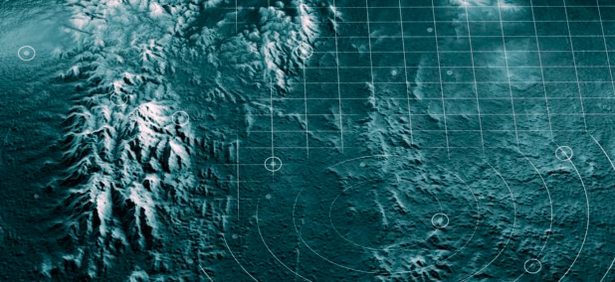
Navy Turns to Autonomous Vessels to Map the Ocean Floor
Why It Matters
Accurate seafloor maps enhance naval navigation safety and situational awareness, giving the U.S. a strategic edge in maritime operations and undersea warfare.
Key Takeaways
- •Navy issues $40M two‑year USV contract for bathymetric mapping.
- •Contract reserved for women‑owned small businesses.
- •Vessels must deliver 2,000 nautical miles of data monthly.
- •25‑day continuous deep‑ocean surveys required.
- •Secure, near‑real‑time data transmission via NIPRNET mandated.
Pulse Analysis
The Navy’s push for autonomous vessels reflects a broader shift in maritime data collection, moving away from legacy manned ships that are costly and limited in availability. High‑resolution bathymetric maps are essential for safe navigation, submarine operations, and undersea infrastructure planning, yet the U.S. fleet has struggled to keep pace with the ocean’s vastness. By outsourcing to contractor‑owned USVs, the Navy can rapidly expand coverage while freeing crew resources for core warfighting tasks.
The $40 million, two‑year contract targets women‑owned small businesses, signaling a deliberate effort to diversify the defense supply chain. Technical requirements—25‑day continuous surveys, multibeam sonar capable of full‑depth measurement, and delivery of 2,000 linear nautical miles of data per month—set a high bar that only a few niche players can meet. This procurement creates a lucrative market for USV manufacturers and software firms specializing in secure, near‑real‑time data pipelines, potentially accelerating innovation in autonomous navigation, energy efficiency, and maritime cybersecurity.
Strategically, the initiative bolsters the Navy’s situational awareness and reduces the risk of maritime accidents in contested waters. Enhanced seafloor intelligence supports anti‑submarine warfare, mine countermeasures, and the planning of future undersea cables or energy routes. As other services and allied nations observe the program’s outcomes, the demand for autonomous ocean‑mapping platforms is likely to expand, shaping the next generation of naval and commercial maritime operations.
Navy turns to autonomous vessels to map the ocean floor
Comments
Want to join the conversation?
Loading comments...