Who Gets Shade First? Austin, Texas, Uses Google Earth Data to Decide.
Companies Mentioned
Why It Matters
Prioritizing shade where heat risk and social vulnerability intersect reduces health risks, energy costs, and supports Austin’s broader climate‑resilience goals. The satellite‑driven model offers a scalable, cost‑effective blueprint for other cities facing urban heat islands.
Key Takeaways
- •Austin uses Google Earth canopy data to target tree planting
- •Goal: 50% tree cover by 2050, currently at 41%
- •Cool corridors blend trees, reflective pavement, and shade structures
- •Prioritizes low‑canopy, high‑heat neighborhoods for equity
- •Canopy plan aligns with Project Connect transit expansion
Pulse Analysis
Cities worldwide are turning to satellite‑derived tree‑canopy maps to accelerate climate‑resilience programs, and Austin is at the forefront. By tapping Google Earth’s Environmental Insights Explorer, the Climate Action and Resilience department can instantly identify blocks with sparse foliage and overlay heat‑severity indices. Machine‑learning models translate these layers into actionable planting priorities, cutting field‑survey costs by an estimated 70 % while delivering city‑wide coverage in days rather than months. The approach offers a replicable template for municipalities that lack extensive ground‑based inventories.
The data‑driven strategy dovetails with Austin’s Resilient Austin Playbook and Climate Equity Plan, which target a 50 % tree‑cover goal by 2050—up from the current 41 %. Heat‑risk modeling highlights that low‑canopy neighborhoods, especially those with higher concentrations of seniors, experience the most extreme temperature spikes. By mandating that three‑fifths of trees from programs such as NeighborWoods be planted in these high‑priority zones, the city aims to close the cooling gap, lower energy bills, and reduce heat‑related health incidents.
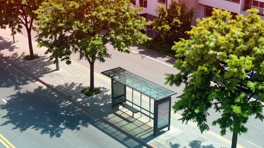
Tree‑planting is being woven into the broader transportation vision of Project Connect, Austin’s multi‑billion‑dollar light‑rail and bus‑service expansion. While utility corridors pose physical constraints, adjacent parks, schools, and private parcels present fertile ground for “cool corridors” that combine shade trees, reflective pavement, and bus‑shelter canopies. The integrated plan promises a multiplier effect: cooler streets boost ridership, while greener infrastructure supports the city’s carbon‑neutral ambitions. As the model matures, continuous satellite monitoring will enable real‑time progress tracking and adaptive management.
Who gets shade first? Austin, Texas, uses Google Earth data to decide.
Comments
Want to join the conversation?
Loading comments...