Why It Matters
The workflow delivers faster, more accurate subsurface asset documentation, reducing costly rework and improving data‑driven decision‑making for utilities and construction firms.
Key Takeaways
- •PIX4Dcatch now syncs directly with ArcGIS Online
- •RTK integration yields centimeter-level 3D scan accuracy
- •Scans appear as Scene Layers for web visualization
- •AR overlay compares design vs. built in real time
- •Enables faster, data‑driven subsurface asset documentation
Pulse Analysis
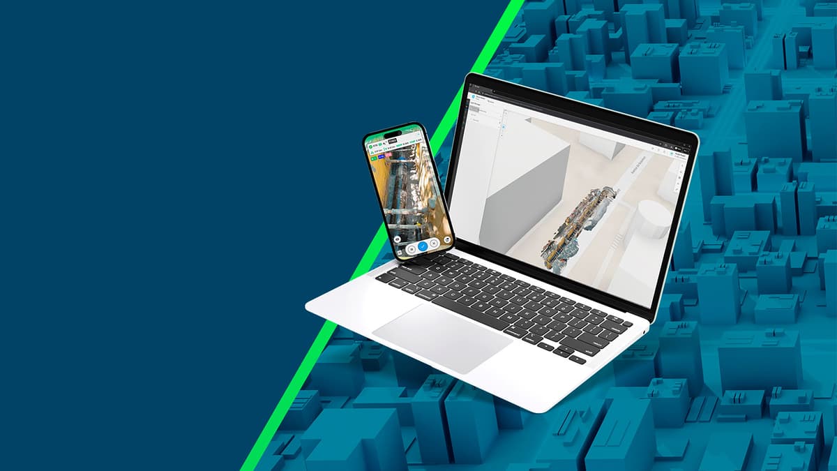
The partnership between Esri and Pix4D arrives at a time when reality capture is reshaping infrastructure management. By marrying Pix4D's mobile photogrammetry platform with Esri's robust GIS ecosystem, field crews can now generate georeferenced 3D models using only a smartphone and an RTK receiver. This eliminates the need for bulky laser scanners and manual data entry, accelerating the capture‑to‑analysis cycle and delivering centimeter‑level precision that meets the stringent tolerances of utility and civil engineering projects.
Technically, the workflow leverages the PIX4Dcatch app to collect overlapping images, which are processed in the cloud into dense point clouds and textured meshes. The RTK integration ensures each scan is anchored to a global coordinate system, allowing the output to be published as a Scene Layer on ArcGIS Online. Users can then visualize the models in a web map, share them across teams, or activate augmented‑reality overlays that juxtapose design drawings with the captured as‑built condition. This seamless data pipeline reduces the friction traditionally associated with transferring field data into enterprise GIS databases.
From a business perspective, the integration promises measurable ROI for asset‑intensive organizations. Faster documentation shortens project timelines, while high‑fidelity models improve inspection accuracy and regulatory compliance. Moreover, the ability to instantly compare design intent with field reality helps prevent costly rework and enhances safety by identifying hidden hazards before trenching begins. As more utilities adopt digital twins and predictive maintenance strategies, tools that bridge the gap between on‑site capture and centralized geospatial intelligence will become indispensable, positioning Esri and Pix4D as key enablers of the next generation of infrastructure workflows.
Esri and Pix4D build reality capture workflow
0
Comments
Want to join the conversation?
Loading comments...