Why It Matters
AuraGO extends mobile reality capture beyond short‑range constraints, opening high‑precision scanning to field‑based AEC professionals. Its price‑to‑performance ratio could accelerate adoption of LiDAR‑driven workflows in construction and forensic documentation.
Key Takeaways
- •AuraGO adds LiDAR to smartphones for long-range scanning.
- •Centimetre-level accuracy across 0.5‑30 m range.
- •Covers 100× area of built‑in phone LiDAR.
- •Works with Q3D Scan app, integrates Dot3D formats.
- •Pre‑order price $3,990; iOS only now.
Pulse Analysis
Mobile LiDAR has become a staple for quick interior measurements, yet most phone‑integrated sensors struggle beyond a few metres. AuraGO addresses this gap by offering a detachable scanner that reaches up to 30 m, effectively turning a handheld device into a long‑range reality capture platform. For architects, engineers, and construction managers, this means entire floors or extensive outdoor sites can be documented in a single pass, reducing the need for bulky tripod‑mounted units and streamlining on‑site data collection.
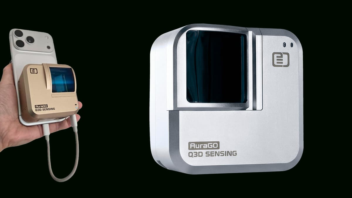
Technically, AuraGO packs a 70° × 45° field of view into a 71 × 71 × 49 mm housing, weighing just 250 g. Powered via the host smartphone or an external battery, it feeds raw point clouds into the Q3D Scan app, which leverages DotProduct’s mature Dot3D engine. The workflow supports export to DP, E57, LAS, LAZ, PTS, PLY, PTX and PTG formats, ensuring compatibility with BIM, GIS and forensic analysis pipelines. This seamless integration lowers the learning curve for teams already familiar with Dot3D’s ecosystem.
From a business perspective, AuraGO’s $3,990 price point positions it between consumer‑grade depth sensors and high‑end terrestrial laser scanners, targeting mid‑market firms seeking precision without prohibitive capital expense. Early iOS compatibility accelerates adoption among iPhone Pro and iPad Pro users, while announced Android and Windows support promises broader market penetration. As the AEC sector increasingly relies on digital twins and as‑built documentation, devices like AuraGO could become a standard tool for rapid, accurate site capture, driving efficiency and reducing project risk.
Q3D Sensing unveils AuraGO
0
Comments
Want to join the conversation?
Loading comments...