ALTUS LSA Develops UAV Platforms for Collaborative Disaster Response Projects
•February 25, 2026
0
Why It Matters
By integrating heavy‑lift delivery and real‑time mapping, the collaboration accelerates relief operations and improves decision‑making in complex emergencies, strengthening Europe’s disaster‑response capabilities.
Key Takeaways
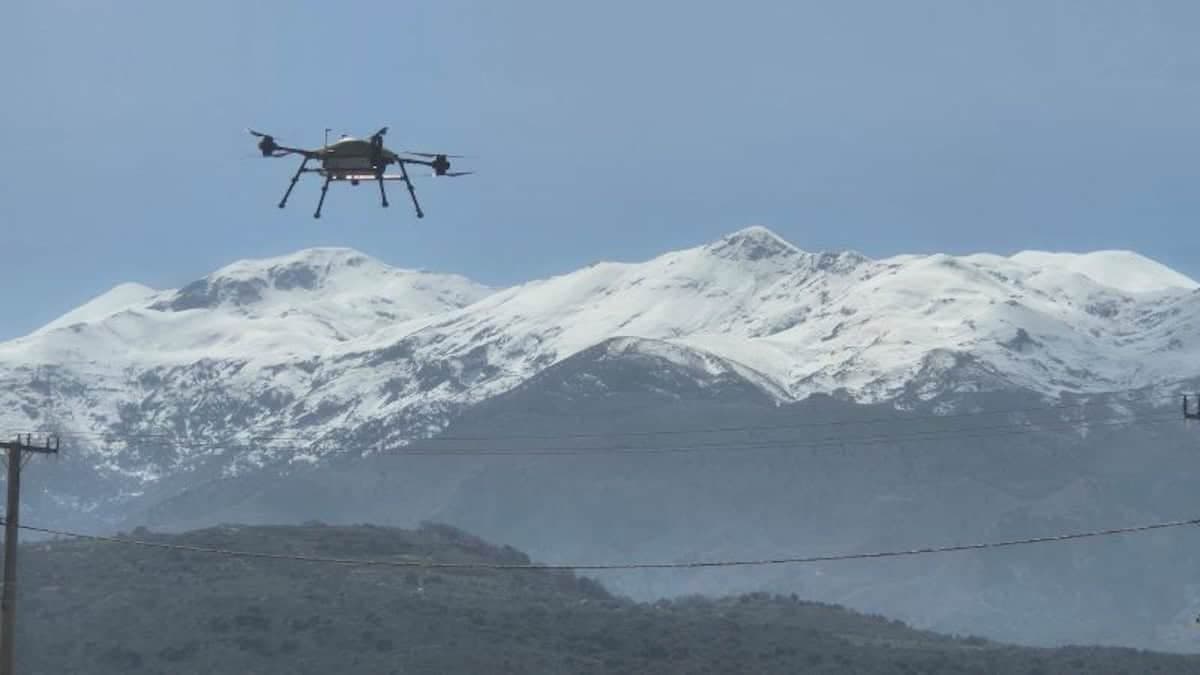
- •ALTUS LSA builds 40‑100 kg heavy‑lift UAVs for relief
- •FORESIGHT UAVs use LiDAR and laser beacons in smoke
- •PANTHEON employs drone swarms and fixed‑wing for city‑scale mapping
- •Combined projects deliver logistics and intelligence for disaster response
- •Initiative funded by Horizon Europe, enhancing European resilience
Pulse Analysis
The last decade has seen unmanned aerial systems evolve from niche hobbyist tools to essential assets in emergency management. Natural catastrophes often leave roads blocked, communications down, and visibility reduced by smoke or dust, hampering traditional relief efforts. Heavy‑lift drones can bypass ground constraints, delivering medical supplies, food, and equipment directly to isolated pockets. Meanwhile, advanced sensors such as LiDAR and laser beacons enable autonomous navigation when human pilots cannot see, turning previously inaccessible zones into reachable delivery corridors.
Within this landscape, ALTUS LSA’s participation in the FORESIGHT and PANTHEON projects illustrates a dual‑track strategy. FORESIGHT’s multicopter UAVs are engineered to haul 40‑100 kg payloads while streaming high‑resolution LiDAR data, providing real‑time situational awareness in zero‑visibility environments. In parallel, PANTHEON deploys coordinated swarms of fixed‑wing drones to sweep large territories, generating geospatial datasets that feed a Digital Twin of the affected area. The combined output supplies both tactical logistics support and strategic intelligence, allowing responders to prioritize resources and anticipate secondary hazards.
The collaboration is funded under Horizon Europe, signaling strong policy backing for resilient, technology‑driven disaster response across the continent. For the commercial UAV market, the projects showcase a viable business model that merges payload capacity with large‑scale data acquisition, opening new revenue streams for manufacturers and service providers. ALTUS LSA’s expertise in turnkey system integration positions it to capture emerging contracts with governments and NGOs seeking rapid, scalable solutions. As climate change intensifies the frequency of extreme events, such integrated drone platforms are likely to become standard tools in the emergency response toolkit.
ALTUS LSA Develops UAV Platforms for Collaborative Disaster Response Projects
0
Comments
Want to join the conversation?
Loading comments...