Around the Commercial Drone Industry: Air Taxi Demos, Police Drone Programs, and Weather Forecasting
•February 6, 2026
0
Why It Matters
The eVTOL demo signals accelerating urban air mobility adoption, while police drone programs demonstrate operational safety gains and domestic supply chain shifts. High‑frequency UAV weather data promises more accurate severe‑weather warnings, protecting lives and infrastructure.
Key Takeaways
- •SkyDrive plans public SD-05 demo, targeting 2028 launch.
- •Tokyo vertiport test aligns with 2030 eVTOL commercial goal.
- •Ohio agencies operate seven Skydio drones, 20 trained pilots.
- •Indoor drones enhance officer safety in hazardous structures.
- •UAVs provide hourly atmospheric data, boosting severe weather forecasts.
Pulse Analysis
The Tokyo demonstration marks a pivotal moment for Japan’s urban air mobility ecosystem. By partnering with the metropolitan government and major real‑estate firms, SkyDrive is not only validating autonomous flight procedures but also gathering passenger‑experience data that will inform certification pathways. As cities worldwide race to build vertiports, the SD‑05’s hybrid control architecture—combining automated navigation with remote pilot oversight—offers a pragmatic bridge between current regulatory limits and the fully autonomous services envisioned for 2030.
Law‑enforcement adoption of drones in Ohio reflects a broader shift toward unmanned aerial assets for public‑safety missions. Skydio’s autonomous obstacle‑avoidance technology reduces the training burden, enabling departments to field indoor‑capable platforms that can enter structurally compromised buildings without endangering officers. The program’s rapid scaling—seven drones, twenty pilots—highlights how domestic manufacturers are positioning themselves to meet emerging U.S. procurement rules that favor home‑grown technology, setting a template for other states navigating new federal drone regulations.
In the meteorological arena, the University of Oklahoma’s 3D Mesonet Project demonstrates how UAVs can fill critical data gaps in the atmospheric boundary layer. By launching drones from fixed mesonet stations on an hourly cadence, researchers capture temperature, humidity, and wind profiles that traditional radiosondes miss due to cost and launch frequency constraints. This granular dataset enhances short‑term forecast models, improving tornado and winter‑storm warnings. As NOAA continues to fund UAV‑based observation networks, the integration of high‑resolution drone data could become a standard component of national weather prediction infrastructure, delivering tangible public‑safety benefits.
Around the Commercial Drone Industry: Air Taxi Demos, Police Drone Programs, and Weather Forecasting
By Erin Sewall · February 6, 2026
This week’s news round‑up looks at a new vertiport being tested in Japan, drones integrated into police operations in Ohio, and research around how drones can improve weather forecasting at the University of Oklahoma.
eVTOL Passenger Drone Taxi Demonstrated in Tokyo
The Japanese company SkyDrive Inc. has plans to run a public demonstration of their new eVTOL air‑taxi model, the SD‑05, in late February. The company plans to launch this drone in 2028, but is calling for the public to join in on the demonstration. They are even asking for “passengers” to run through the process of checking in for an autonomous flight, though there will be no passenger flights running as part of the demonstration.
The event is put on through collaboration with the Tokyo Metropolitan Government, Mitsubishi Estate Co., Ltd, and Kanematsu Corporation, and flights will be run with a combination of automated control and remote‑pilot technology. This is a big step in the direction of the city’s eVTOL Implementation Project, which aims to have commercial flight operations ready by 2030.
Ohio Police Departments Implements Drone Program
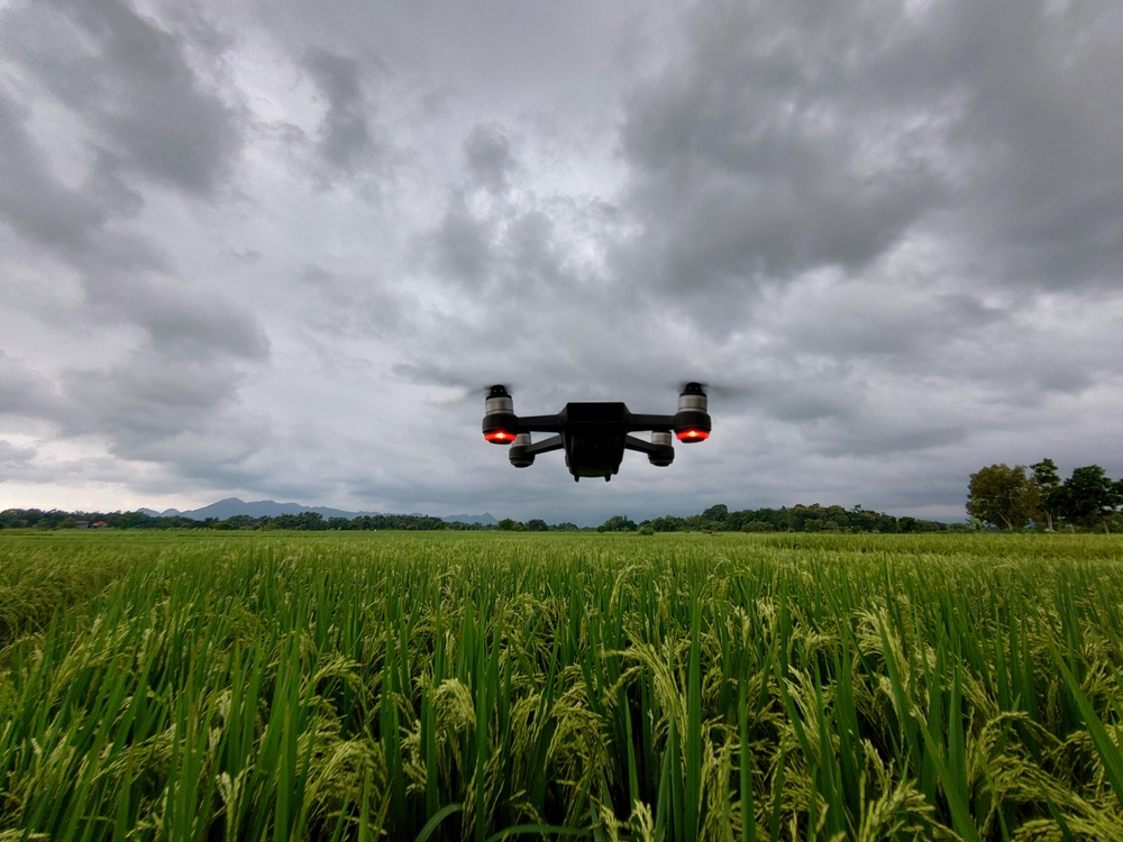
Officers across the state of Ohio have incorporated drones into their operations and have quickly seen the benefits. In Akron, their program has grown to include 20 trained pilots to operate a fleet of seven drones, with hopes to add more, including docked drones. Their fleet includes indoor drones as well, which they have claimed to be a game‑changer in protecting their officers by sending the drone into dangerous buildings to scout out the area.
There are currently six law‑enforcement agencies in Ohio using Skydio drones for their programs. These agencies may serve as good examples to other agencies who will need to switch over to domestic drone products in the future, considering new regulations.
Drones Capture High‑Accuracy Data for Weather Predictions
Researchers at the University of Oklahoma are using drones to advance short‑term weather forecasting through the 3D Mesonet Project. This project is made possible with funding from a NOAA contract. The drone is launched from an Oklahoma Mesonet station and from the flight, the team can gather data on the atmospheric boundary layer. Compared to weather balloons, the drone can get data more frequently, even on an hourly basis. This allows the team to collect weather data from parts of the atmosphere that have never been measured.
This high‑accuracy data can drastically improve predictions for dangerous weather events like tornadoes, severe thunderstorms, and winter storms. It also has the ability to detect small changes in temperature that could signify the difference between snow or freezing rain.
About the Author
Erin Sewall is the Content Specialist for Commercial UAV News and Expo. Prior to joining Diversified Communications, Erin contributed to news sources for a major outdoor retail company. Erin graduated from the University of Maine with a Bachelor of Arts in Communications. In her spare time, she enjoys hiking, horseback riding, and reading. She is a Maine native and currently resides in Portland, Maine.
0
Comments
Want to join the conversation?
Loading comments...