Around the Commercial Drone Industry: Air Taxi Demos, Police Drone Programs, and Weather Forecasting
Why It Matters
The eVTOL demo signals accelerating urban air mobility adoption, while police drone programs demonstrate operational safety gains and domestic supply chain shifts. High‑frequency UAV weather data promises more accurate severe‑weather warnings, protecting lives and infrastructure.
Key Takeaways
- •SkyDrive plans public SD-05 demo, targeting 2028 launch.
- •Tokyo vertiport test aligns with 2030 eVTOL commercial goal.
- •Ohio agencies operate seven Skydio drones, 20 trained pilots.
- •Indoor drones enhance officer safety in hazardous structures.
- •UAVs provide hourly atmospheric data, boosting severe weather forecasts.
Pulse Analysis
The Tokyo demonstration marks a pivotal moment for Japan’s urban air mobility ecosystem. By partnering with the metropolitan government and major real‑estate firms, SkyDrive is not only validating autonomous flight procedures but also gathering passenger‑experience data that will inform certification pathways. As cities worldwide race to build vertiports, the SD‑05’s hybrid control architecture—combining automated navigation with remote pilot oversight—offers a pragmatic bridge between current regulatory limits and the fully autonomous services envisioned for 2030.
Law‑enforcement adoption of drones in Ohio reflects a broader shift toward unmanned aerial assets for public‑safety missions. Skydio’s autonomous obstacle‑avoidance technology reduces the training burden, enabling departments to field indoor‑capable platforms that can enter structurally compromised buildings without endangering officers. The program’s rapid scaling—seven drones, twenty pilots—highlights how domestic manufacturers are positioning themselves to meet emerging U.S. procurement rules that favor home‑grown technology, setting a template for other states navigating new federal drone regulations.
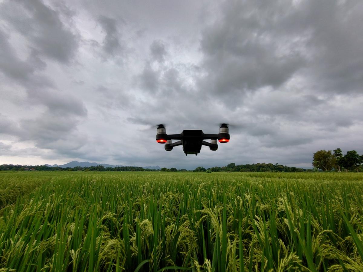
In the meteorological arena, the University of Oklahoma’s 3D Mesonet Project demonstrates how UAVs can fill critical data gaps in the atmospheric boundary layer. By launching drones from fixed mesonet stations on an hourly cadence, researchers capture temperature, humidity, and wind profiles that traditional radiosondes miss due to cost and launch frequency constraints. This granular dataset enhances short‑term forecast models, improving tornado and winter‑storm warnings. As NOAA continues to fund UAV‑based observation networks, the integration of high‑resolution drone data could become a standard component of national weather prediction infrastructure, delivering tangible public‑safety benefits.
Around the Commercial Drone Industry: Air Taxi Demos, Police Drone Programs, and Weather Forecasting
Comments
Want to join the conversation?
Loading comments...