French Navy Deploys Deep‑Sea ROV to Map 16th‑Century Shipwreck at 8,200‑Foot Depth
Why It Matters
The Camarat 4 expedition demonstrates that high‑performance ROVs can operate at depths previously reserved for military or oil‑and‑gas applications, opening a new frontier for cultural heritage preservation. By delivering a full 3‑D map of a 16th‑century shipwreck, the mission provides scholars with data that were once impossible to obtain, enabling more accurate reconstructions of historic trade routes and shipbuilding techniques. Moreover, the project underscores the growing convergence of robotics, AI‑driven imaging, and archaeology. As nations invest in deeper‑water capabilities, the competitive edge will shift from sheer depth to the ability to process massive image datasets quickly and to handle delicate artifacts without damage. This could accelerate the discovery of unknown wrecks, reshape museum collections, and stimulate a market for specialized underwater robotics services.
Key Takeaways
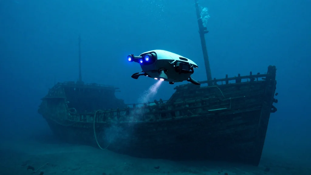
- •French Navy and DRASSM used a Travocean ROV capable of >13,000 ft depth to explore Camarat 4 at 8,200 ft.
- •The robot captured 66,974 high‑resolution photographs, enabling the first full photogrammetric survey of the deepest French archaeological site.
- •Three decorative pitchers and a uniquely patterned plate were recovered from the 90‑ft‑long, 22‑ft‑wide wreck.
- •Mission lasted three days in April 2024 and involved collaboration between navy divers, CEPHISMER, and academic researchers.
- •Data are being processed into a 3‑D model by the Laboratory of Medieval and Modern Archaeology, setting a new benchmark for deep‑sea heritage work.
Pulse Analysis
The Camarat 4 operation marks a turning point where deep‑sea robotics transition from niche industrial tools to mainstream scientific instruments. Historically, underwater archaeology relied on divers limited to a few hundred feet, constraining the scope of discovery. The deployment of a purpose‑built ROV that can withstand pressures at 13,000 feet not only expands the searchable volume of the ocean but also democratizes access to data through digital 3‑D reconstructions. This shift mirrors the broader trend in robotics where modular, high‑payload platforms are repurposed across sectors—from offshore energy to heritage preservation.
From a market perspective, the success of Travocean's system is likely to catalyze a wave of private investment. Venture capitalists have already shown interest in marine‑tech startups that promise cost‑effective deep‑water surveys for oil, gas, and cable inspection. The French expedition provides a compelling use‑case that could attract funding for next‑generation ROVs equipped with AI‑driven navigation and real‑time photogrammetry. Competitors such as Oceaneering and Saab Seaeye will need to accelerate their own deep‑sea offerings to stay relevant.
Strategically, nations are now faced with a dual imperative: protect submerged cultural heritage while also asserting technological leadership. The ability to map and retrieve artifacts from extreme depths could become a soft‑power asset, showcasing a country's scientific prowess and commitment to preserving global history. As more countries adopt similar capabilities, we may see an emerging international framework governing deep‑sea archaeology, akin to the UNESCO conventions for terrestrial sites. The French team's achievement, therefore, is not just a technical milestone—it is a catalyst for policy, investment, and collaborative research that will shape the future of underwater robotics and heritage science.
French Navy Deploys Deep‑Sea ROV to Map 16th‑Century Shipwreck at 8,200‑Foot Depth
Comments
Want to join the conversation?
Loading comments...