How YellowScan Navigator Closes the Land-Water Data Gap in UAV Lidar Surveys
Why It Matters
By delivering continuous, high‑precision data across the shoreline, the Navigator enables faster, more accurate flood‑plain, erosion, and habitat assessments, reducing project costs and improving climate‑risk decisions.
Key Takeaways
- •Navigator captures topography and bathymetry in one UAV flight
- •3 cm accuracy, 45‑minute endurance, 3.7 kg weight
- •Maps 300 m river stretch with banks in 10 minutes
- •Enables seamless coastal monitoring, revealing erosion hotspots
- •Supports high‑resolution seagrass carbon mapping for climate studies
Pulse Analysis
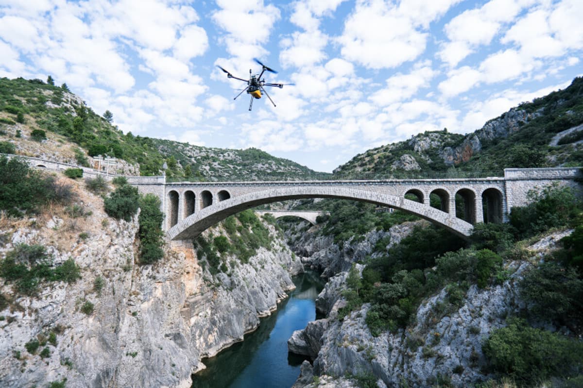
The UAV lidar market has accelerated since 2015, driven by lighter sensors, longer ranges, and falling operating costs. Yet a persistent blind spot has been the land‑water interface, where traditional topographic lidar terminates at the shoreline and boat‑mounted echo sounders struggle in shallow, vegetated zones. 7 kg payload. Operating up to 100 m AGL with 3 cm precision, it delivers a single, georeferenced point cloud that spans terrestrial terrain and sub‑surface bathymetry, eliminating the need for post‑flight data stitching.
The unified dataset unlocks new efficiencies for river floodplain surveys, coastal erosion monitoring, and shallow‑water habitat mapping. In Sweden, a 550‑hectare coastal stretch was captured in a single sortie, revealing erosion hotspots and sediment shifts that previous boat surveys missed. In Norway, the system produced 10 cm resolution seagrass canopy models, quantifying carbon stocks with an order‑of‑magnitude higher point density than conventional airborne lidar. These case studies demonstrate not only time savings—10‑minute river runs and sub‑two‑hour processing—but also a dramatic boost in spatial fidelity for environmental decision‑making.
As climate resilience and carbon accounting become regulatory priorities, agencies and commercial survey firms are likely to adopt topo‑bathymetric UAV solutions at scale. The Navigator’s modest weight fits most multirotor and helicopter platforms, and its 45‑minute endurance supports larger area coverage without multiple battery swaps. Early adopters such as VisionAir and NIVA illustrate a viable business model: premium data services for municipalities, infrastructure planners, and research institutions. If pricing aligns with traditional surveys, the technology could redefine how the surveying industry addresses the land‑water continuum within the next few years.
How YellowScan Navigator Closes the Land-Water Data Gap in UAV Lidar Surveys
Comments
Want to join the conversation?
Loading comments...