New Integration Supports Public Safety Drone Operations
Why It Matters
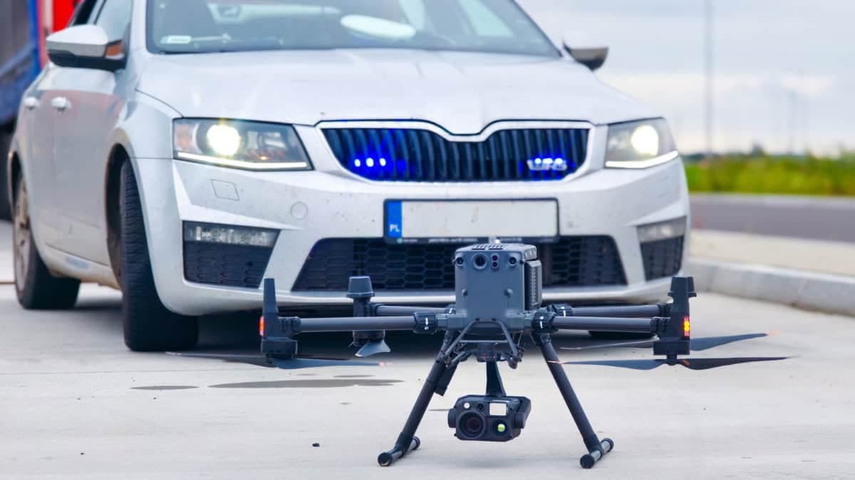
Real‑time drone telemetry embedded in command software accelerates decision‑making and cross‑agency coordination, a critical edge for emergency responders facing increasingly complex incidents.
Key Takeaways
- •AirData logged over 62 million flights across 200+ countries.
- •Integration streams real‑time telemetry into LeoCommand for unified command.
- •Enables multi‑agency coordination during daily ops and large incidents.
- •Enhances situational awareness for dispatchers, officers, and pilots.
- •Expands LeoSight ecosystem with license‑plate recognition and other data sources.
Pulse Analysis
The public‑safety sector has embraced drones as a first‑responder tool, using them for rapid aerial reconnaissance, hazardous‑area inspection, and crowd monitoring. As municipal budgets allocate more to unmanned aerial systems, the volume of data generated—video, sensor feeds, flight paths—has outpaced traditional command‑center interfaces. Integrating that data stream into a single operational hub is becoming a prerequisite for agencies that need to synthesize multiple information sources under tight time constraints.
AirData’s platform, which aggregates telemetry from hundreds of thousands of pilots worldwide, now feeds directly into LeoSight’s LeoCommand. The integration pushes live flight metrics, battery status and geofencing alerts into the same dashboard that already displays license‑plate reads, CCTV feeds and CAD data. For incident commanders, this means a single pane of glass where drone activity is visualized alongside ground‑level intelligence, reducing the need for manual data reconciliation and enabling faster, data‑driven tactical decisions.
Beyond immediate operational gains, the partnership signals a broader shift toward interoperable public‑safety ecosystems. As more municipalities adopt Drone‑as‑First‑Responder programs, vendors that can seamlessly stitch together aerial and terrestrial data will command a competitive advantage. Future enhancements may include AI‑driven anomaly detection and automated mission handoffs, further tightening the feedback loop between pilots and dispatchers. For agencies, the integration promises not just better situational awareness but measurable improvements in response times and resource allocation.
New Integration Supports Public Safety Drone Operations
Comments
Want to join the conversation?
Loading comments...