Quickly and Precisely Localizing Radioactive Material with Drones and Robots
•February 2, 2026
0
Companies Mentioned
Why It Matters
Rapid, precise drone‑based radiation mapping cuts search times dramatically, enhancing public safety and CBRNE response capabilities for emergency services and defence agencies.
Key Takeaways
- •Drone locates radioactive source within meters in minutes
- •Uses gamma detector, EO/IR cameras, sensor fusion
- •Two-phase algorithm: exploration then adaptive search
- •Tested at WIS, improves over handheld searches
- •SLEIPNIR aims faster flight, multiple source detection
Pulse Analysis
The rise of CBRNE threats has pushed governments and industry to seek faster, safer ways to detect hazardous materials. Traditional handheld detectors require prolonged, manual sweeps that expose personnel to danger and often miss small, concealed sources, as illustrated by the 2023 cesium capsule incident in Australia. By deploying autonomous platforms, responders can cover larger areas quickly while keeping humans at a safe distance, fundamentally changing the risk calculus of radiological incident management.
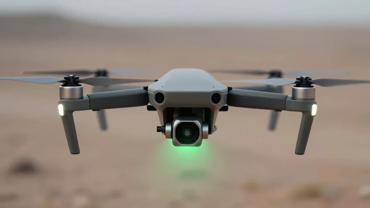
Fraunhofer FKIE’s drone leverages a suite of sensors—gamma spectrometer, electro‑optical and infrared cameras, inertial measurement unit, and LTE link—to create a real‑time radiation heat map. Complex data‑fusion algorithms process this stream, first mapping background levels during an exploration pass, then dynamically generating way‑points toward the highest‑probability hotspot. The system’s Intel NUC onboard computer executes the adaptive search in seconds, delivering a pinpoint location within a few metres. This dual‑phase approach reduces detection time from days to minutes, delivering actionable intelligence to ground teams instantly.
Beyond immediate emergency response, the technology promises broader strategic benefits. Military units can integrate the UAS into CBRN protection protocols, while civilian agencies gain a scalable tool for border security and nuclear facility monitoring. The upcoming SLEIPNIR project will push the envelope further, targeting higher cruise speeds and the ability to track multiple moving nuclides simultaneously. As regulatory frameworks evolve and demand for autonomous CBRNE solutions grows, early adopters of this drone platform could secure a competitive edge in a market projected to expand rapidly over the next decade.
Quickly and precisely localizing radioactive material with drones and robots
0
Comments
Want to join the conversation?
Loading comments...