Three Verticals for Drone-Based Lidar Beyond Surveying and Mapping
Why It Matters
These applications address critical operational challenges—outage prevention, sustainable timber management, and inventory control—while generating steady, repeatable business for drone service firms.
Key Takeaways
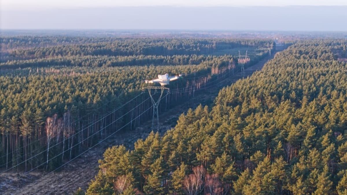
- •Lidar excels in utility corridor inspection by penetrating canopy
- •Forestry inventories gain accurate tree metrics from single drone flights
- •Stockpile volumetrics deliver repeatable, condition‑independent measurements
- •Recurring lidar services create steady revenue for drone providers
- •BVLOS rule progress will expand lidar use cases
Pulse Analysis
The commercial drone market has long been anchored by lidar’s precision in topographic surveying, a niche that grew alongside autonomous‑vehicle research. Yet the technology’s core strength—capturing multi‑return 3D data in challenging lighting or dense vegetation—makes it a natural fit for sectors that struggle with traditional photogrammetry. As utilities grapple with sprawling, forest‑lined transmission lines, lidar‑enabled flights can map vertical clearances and flag encroaching vegetation in a single pass, delivering data that power companies need to prevent outages and mitigate wildfire risk.
Forestry managers and timber producers are another emerging audience. By extracting tree height, crown width, and stem density from one aerial mission, lidar replaces weeks of labor‑intensive field work and overcomes the canopy‑obscuring limits of visual imaging. The same dual‑layer capability—bare‑earth terrain plus canopy structure—feeds accurate biomass models, supporting sustainable harvest planning and carbon accounting. Meanwhile, the mining, aggregates and construction sectors benefit from lidar’s ability to generate precise volumetric models on any material, from dark coal piles to bright gravel, regardless of surface texture or lighting, enabling frequent inventory checks that keep operations running smoothly.
For drone service providers, these verticals represent a shift from project‑based contracts to subscription‑style engagements. Regular corridor inspections, seasonal forest inventories, and ongoing stockpile monitoring create predictable cash flow and deepen client relationships. As the FAA advances BVLOS regulations, operators will gain broader airspace access, further lowering costs and expanding the geographic reach of lidar services. Companies that invest now in the hardware, software, and expertise to serve utilities, forestry, and aggregates position themselves to capture a growing share of the $2 billion commercial lidar market projected for the next five years.
Three Verticals for Drone-Based Lidar Beyond Surveying and Mapping
Comments
Want to join the conversation?
Loading comments...