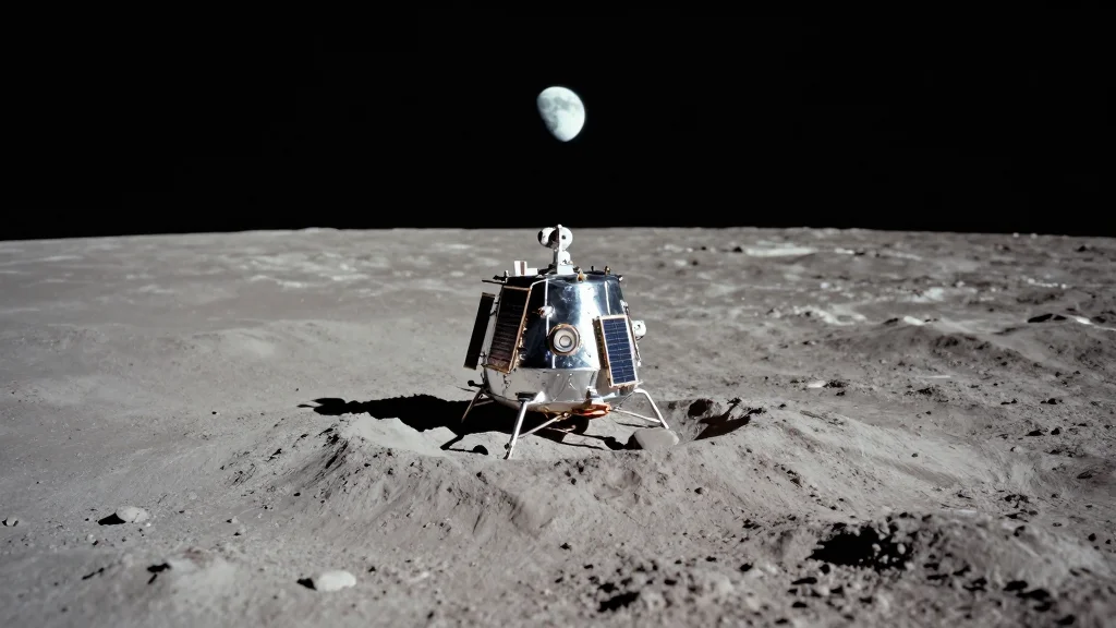
A Call to My Readers: Find the Location of NASA’s Lunar Base!
Companies Mentioned
Why It Matters
Accurate location data is essential for safe landing operations and for coordinating commercial lunar missions, while public crowdsourcing can speed up NASA’s site‑selection timeline.
Key Takeaways
- •NASA unveiled unmanned lunar base concept near the south pole.
- •Presented map omits crater names, latitude, longitude, and scale.
- •Commercial missions listed: Chang’e‑7, Griffin, Nova‑C, Vikram.
- •Precise site location needed for landing site safety and logistics.
- •Crowdsourced analysis may accelerate NASA’s site‑selection process.
Pulse Analysis
NASA’s announcement of an unmanned lunar base near the Moon’s south pole marks a pivotal step in the agency’s Artemis‑derived exploration roadmap. By integrating commercial landers such as China’s Chang’e‑7, the Griffin rover, United Launch Alliance’s Nova‑C, and the Vikram module, the program aims to establish a sustainable foothold for scientific research and resource extraction. However, the lack of geospatial metadata on the publicly released base diagram—no crater identifiers, latitude‑longitude coordinates, or scale—creates uncertainty for mission planners who rely on precise topographic data to assess terrain hazards and communication line‑of‑sight.
The Lunar Reconnaissance Orbiter (LRO) continues to provide high‑resolution imagery that underpins site‑selection decisions, yet translating those images into actionable coordinates requires clear reference points. Industry stakeholders, from Intuitive Machines to SpaceX, depend on accurate mapping to design landing trajectories, allocate payload mass, and schedule surface operations. The current ambiguity underscores a broader challenge in the emerging commercial lunar ecosystem: balancing rapid public disclosure with the technical rigor needed for safe, cost‑effective missions.
Engaging the broader community through crowdsourced mapping efforts could bridge this gap. Amateur astronomers and GIS professionals possess the tools to overlay the NASA graphic onto LRO datasets, potentially pinpointing the intended base location. Such collaborative verification not only accelerates NASA’s timeline but also fosters public investment in space infrastructure, reinforcing the commercial viability of lunar endeavors.
A call to my readers: Find the location of NASA’s lunar base!
Comments
Want to join the conversation?
Loading comments...