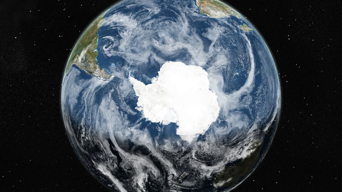
Beneath the Ice: Satellites Help Map Antarctica's Subglacial Surface Like Never Before
•January 15, 2026
0
Why It Matters
Accurate subglacial maps sharpen predictions of Antarctic ice dynamics, directly influencing global sea‑level risk assessments and guiding costly field campaigns toward the most critical regions.
Key Takeaways
- •IFPA derives bedrock topography from satellite ice surface data.
- •Map resolves features 2–30 km across, revealing hidden valleys.
- •New geological features suggest pre‑glacial landscape clues.
- •Improves ice‑flow models, aiding sea‑level rise forecasts.
- •Guides targeted geophysical surveys for International Polar Year 2031‑33.
Pulse Analysis
Ice Flow Perturbation Analysis (IFPA) leverages high‑resolution satellite altimetry and velocity data to back‑calculate the shape of the bed beneath Antarctica’s ice sheet. By integrating physical ice‑flow equations, the technique bypasses the logistical and financial constraints of traditional airborne or ground‑based surveys, delivering a continent‑wide model that captures mesoscale variations previously invisible to scientists. This methodological shift marks a new era in remote sensing, where satellite constellations can routinely infer subsurface geology across extreme environments.
The newly released IFPA map uncovers a network of steep‑sided channels, deep troughs, and U‑shaped valleys that hint at a complex pre‑glacial landscape. These features not only rewrite the geological narrative of ancient Antarctica but also influence present‑day ice dynamics; variations in bedrock elevation dictate basal friction and flow pathways, affecting how quickly ice streams discharge into the ocean. Incorporating such detailed topography into ice‑sheet models reduces uncertainty in projections of melt contributions to global sea level, a critical metric for coastal planners and climate policymakers.
Looking ahead, the International Polar Year 2031‑33 offers a strategic window to validate and refine the IFPA outputs with targeted geophysical campaigns. Researchers can prioritize regions where the model indicates high topographic complexity, optimizing flight‑track spacing and instrument deployment. The synergy between satellite‑derived maps and focused field measurements promises to enhance predictive ice‑flow simulations, delivering more reliable sea‑level rise scenarios and informing international climate mitigation strategies.
Beneath the ice: Satellites help map Antarctica's subglacial surface like never before
0
Comments
Want to join the conversation?
Loading comments...