Danish Mani Mission to Chart Lunar Terrain in 3D
•March 5, 2026
0
Why It Matters
By delivering unprecedented 3‑D terrain data, Mani reduces risk for upcoming crewed and robotic missions while positioning Denmark as a key player in lunar exploration.
Key Takeaways
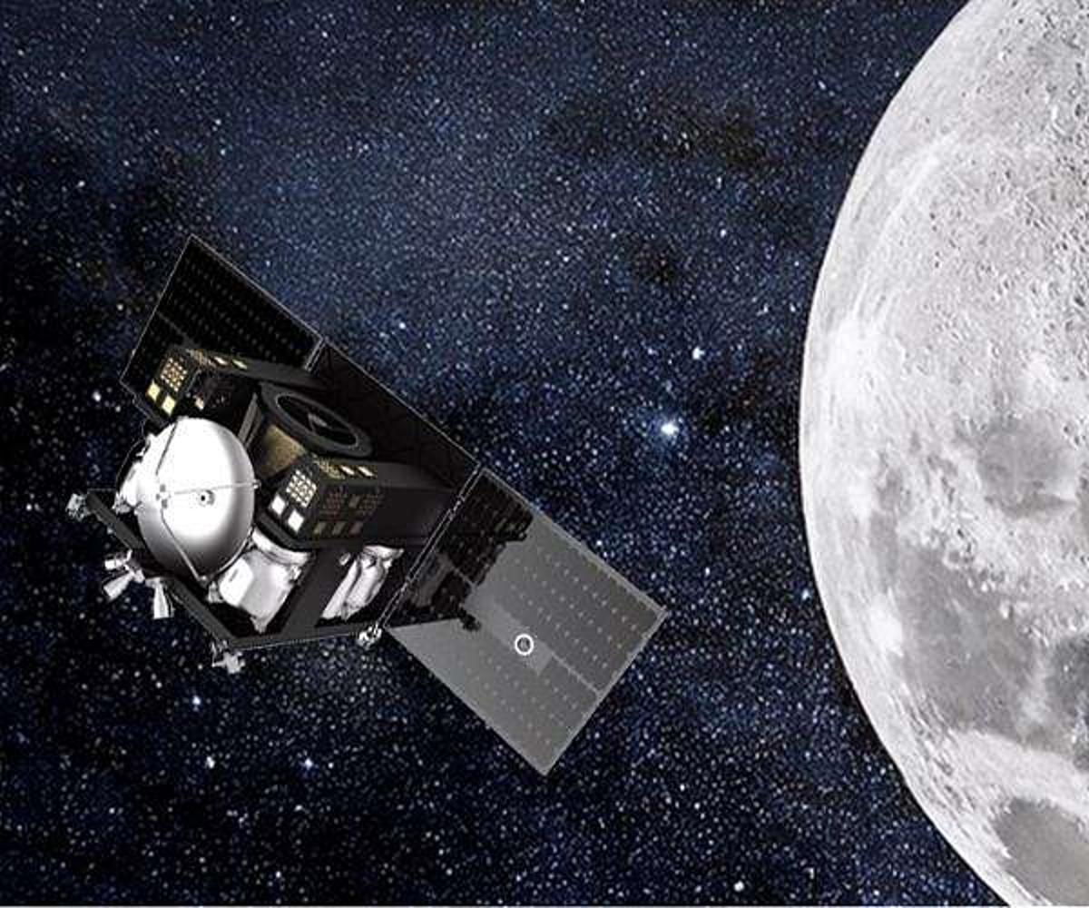
- •First Danish-led ESA lunar mission, launching 2029.
- •3D mapping of polar regions enhances landing site safety.
- •Shadow‑based algorithm yields higher‑resolution elevation models.
- •Data supports future bases and earthshine climate studies.
- •International consortium blends academia, industry for spacecraft.
Pulse Analysis
The push for sustainable lunar presence has intensified as agencies worldwide scout for safe, resource‑rich sites. Traditional lunar maps, derived from single‑angle imaging, leave gaps in slope and micro‑topography data, especially near the poles where illumination conditions are critical. Mani’s 3‑D approach fills this void, offering planners a granular view of craters, ridges, and potential shadow‑free zones, thereby streamlining mission design and reducing contingency costs for both NASA’s Artemis program and commercial partners.
At the heart of Mani’s innovation is a shadow‑tracking algorithm pioneered at the Niels Bohr Institute. By capturing the same terrain under varying solar angles, the system quantifies subtle shadow shifts to infer precise elevation changes—a technique that outperforms conventional stereo photogrammetry. This method not only sharpens resolution beyond existing datasets but also leverages the Moon’s lack of atmosphere, ensuring clean shadow signatures. The resulting digital elevation models promise to support autonomous navigation, hazard avoidance, and in‑situ resource assessment for future explorers.
Beyond landing safety, Mani’s data stream has cross‑disciplinary value. Earthshine observations will refine models of Earth’s albedo, feeding climate‑change research with more accurate solar‑reflection metrics. Moreover, the mission showcases Denmark’s growing aerospace ecosystem, uniting universities, research institutes, and firms like Space Inventor in a high‑profile ESA venture. This collaborative framework sets a precedent for small‑nation leadership in deep‑space projects, potentially attracting further investment and talent to Europe’s lunar ambitions.
Danish Mani mission to chart lunar terrain in 3D
0
Comments
Want to join the conversation?
Loading comments...