ICEYE Launches SAR-Powered Deforestation Monitoring to Counter Tropical Forest Loss
•March 3, 2026
0
Why It Matters
By delivering actionable, cloud‑independent data, the platform strengthens enforcement and accelerates climate reporting, addressing a critical blind spot in tropical forest protection. This positions ICEYE as a key player in the growing market for satellite‑based environmental intelligence.
Key Takeaways
- •SAR works despite clouds, enabling continuous forest monitoring.
- •ICEYE's service targets governments, NGOs, law enforcement.
- •Near‑real‑time data creates actionable evidence for illegal logging.
- •Jane Goodall Institute partnership boosts conservation credibility.
- •Service integrates with ICEYE's broader environmental intelligence platform.
Pulse Analysis
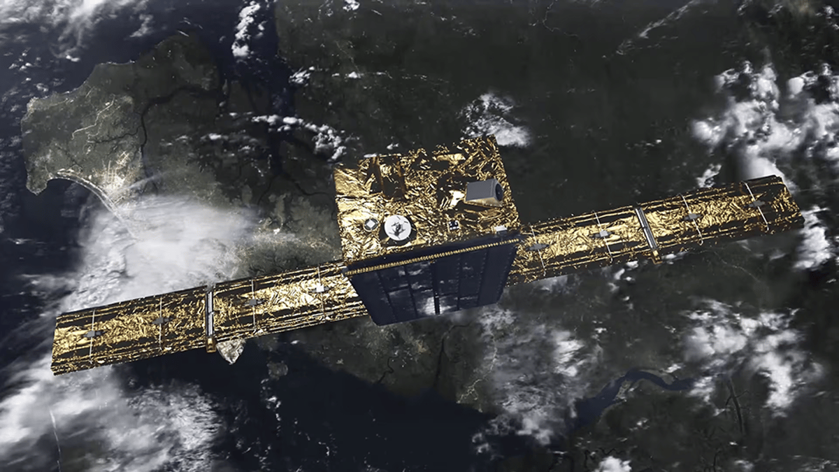
Tropical deforestation has long evaded traditional optical satellite monitoring because persistent cloud cover obscures the canopy for weeks at a time. Synthetic aperture radar (SAR) sidesteps this limitation by emitting microwave signals that penetrate clouds, smoke and even foliage, producing consistent backscatter images regardless of weather or daylight. ICEYE’s new SAR‑powered monitoring service leverages its growing constellation to deliver near‑real‑time change detection across the Amazon, Congo Basin and other high‑risk regions, turning previously invisible illegal activities into observable data points.
The commercial implications are significant. Governments and enforcement agencies now have a reliable, repeatable evidence chain that can be used in legal proceedings and policy enforcement, reducing the lag between illegal logging events and response. By packaging this capability as a structured service, ICEYE taps into the expanding market for satellite‑derived environmental intelligence, where demand from NGOs, climate finance entities and compliance regulators is surging. Partnerships with respected conservation bodies such as the Jane Goodall Institute add credibility and open channels to donor funding, while the integration with ICEYE’s existing flood and wildfire monitoring platforms creates cross‑domain synergies that enhance overall client value.
Looking ahead, ICEYE plans to embed deforestation data into a broader environmental analytics suite, enabling users to correlate forest loss with climate metrics, carbon accounting and biodiversity indicators. This holistic approach can streamline national climate reporting and support international initiatives like REDD+. As more jurisdictions adopt satellite‑based compliance frameworks, ICEYE’s SAR service is poised to become a cornerstone of proactive forest governance, driving both ecological outcomes and new revenue streams for the company.
ICEYE Launches SAR-Powered Deforestation Monitoring to Counter Tropical Forest Loss
0
Comments
Want to join the conversation?
Loading comments...