KSAT and iQPS Expand Strategic Alliance to Accelerate High-Frequency SAR Constellation
Why It Matters
By automating ground‑segment operations, iQPS can expand its SAR constellation cost‑effectively, unlocking ultra‑low‑latency geospatial intelligence for critical sectors such as disaster response, security and agriculture.
Key Takeaways
- •iQPS targets 24 operational SAR satellites by May 2028
- •Full 36‑satellite constellation planned for 2030, ten‑minute revisit
- •KSATlite provides automated Ground‑Segment‑as‑a‑Service for scaling
- •SAR offers all‑weather, near‑real‑time imaging unlike optical sensors
- •Constellation data to boost disaster response, urban safety, agriculture analytics
Pulse Analysis
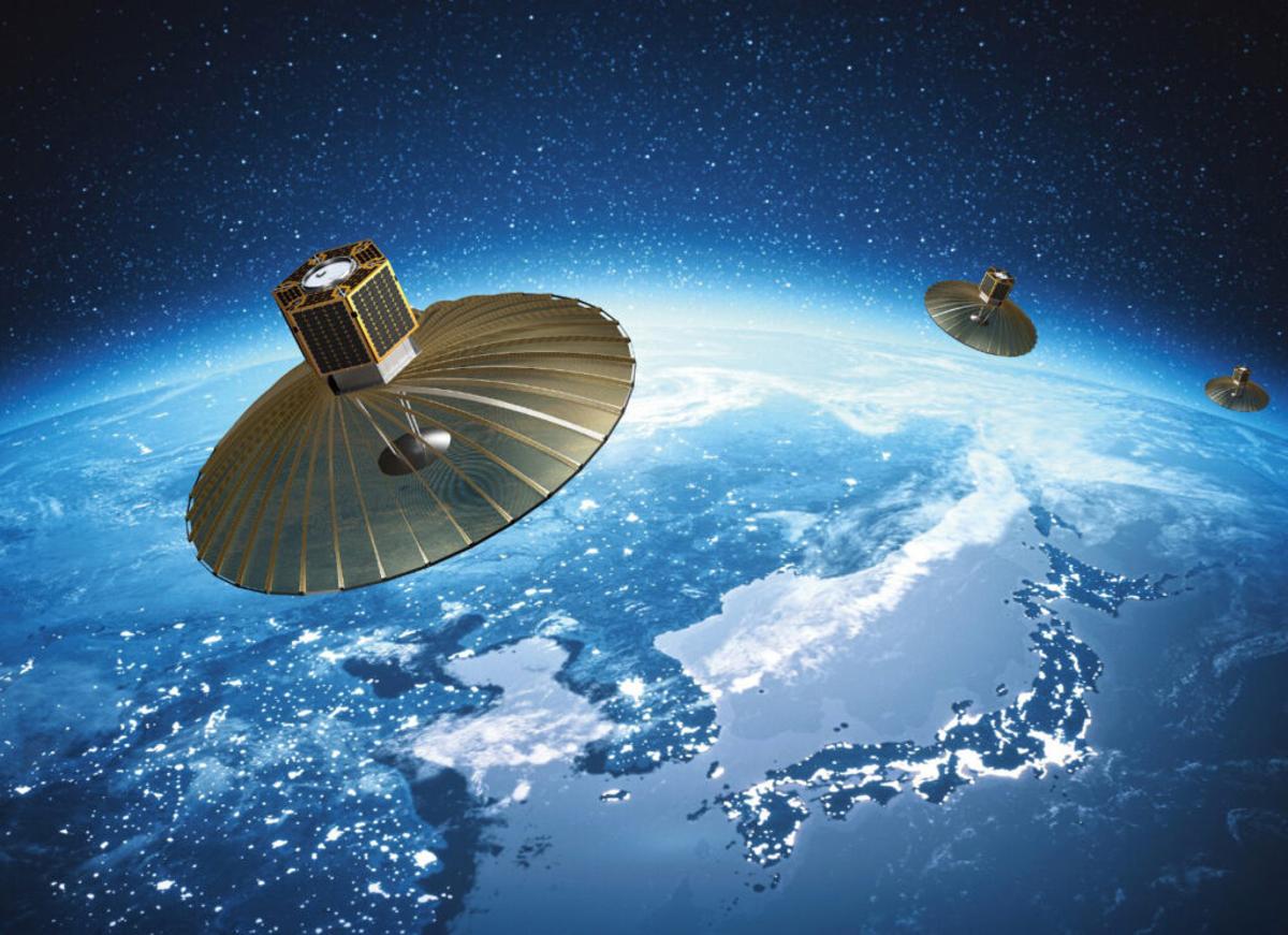
The race to field high‑frequency synthetic‑aperture‑radar (SAR) constellations has accelerated as commercial operators seek data that works day or night, through clouds, and at a cadence previously reserved for military assets. SAR’s ability to capture fine‑resolution imagery regardless of lighting conditions makes it a cornerstone for time‑critical applications, from tracking maritime traffic to monitoring rapid environmental changes. As satellite miniaturization advances, the market now favors dense constellations that can revisit any point on Earth within minutes, a capability that iQPS is positioning to deliver.
KSATlite, KSAT’s fully automated Ground‑Segment‑as‑a‑Service offering, is central to iQPS’s scaling strategy. By outsourcing antenna network management, telemetry, tracking, and command functions to a cloud‑native platform, iQPS avoids the massive capital outlay required to build its own global ground infrastructure. The service provides seamless launch‑and‑early‑orbit support, continuous coverage, and rapid re‑configuration, allowing the constellation to grow from nine to 24 satellites by 2028 without proportional increases in operational overhead. This model exemplifies the industry’s move toward ground‑segment cloudification, where flexibility and cost efficiency drive faster deployment cycles.
When fully operational, the 36‑satellite QPS‑SAR network will generate ultra‑low‑latency geospatial intelligence that can transform multiple verticals. Emergency managers will receive near‑real‑time flood and wildfire maps, enabling faster evacuations and resource allocation. Urban planners can integrate SAR data with traffic and IoT feeds to improve safety and congestion management. In agriculture, frequent SAR passes support soil moisture monitoring and yield forecasting when combined with weather models. By delivering these insights through a subscription‑based service, iQPS and KSAT are poised to create new revenue streams while reinforcing the strategic importance of space‑based data in the global economy.
KSAT and iQPS Expand Strategic Alliance to Accelerate High-Frequency SAR Constellation
Comments
Want to join the conversation?
Loading comments...