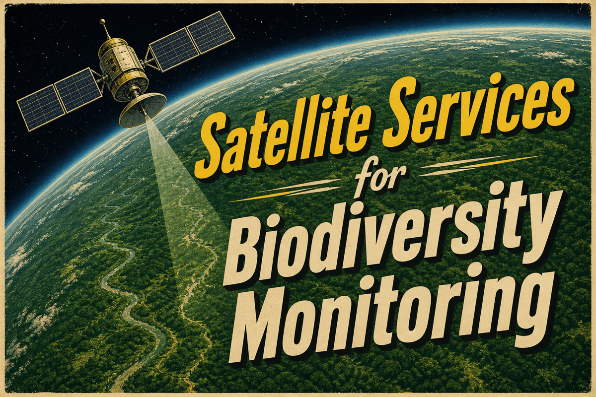
Satellite Services for Biodiversity Monitoring
Companies Mentioned
Why It Matters
The transition enables governments, conservation groups, and investors to meet biodiversity targets with verifiable, cost‑effective evidence, turning remote sensing into a core compliance and financing tool.
Key Takeaways
- •Satellite firms now sell alerts, change‑detection layers, not raw images.
- •Public missions like Landsat, NISAR supply free data backbone.
- •Forests, wetlands, reefs, mangroves dominate commercial demand.
- •Radar and hyperspectral missions improve cloud‑prone and spectral analysis.
- •Finance and biodiversity frameworks create new monitoring procurement.
Pulse Analysis
The satellite‑based biodiversity market has matured into a service‑oriented industry, driven by the need for repeatable, auditable evidence that supports global policy commitments. Early adopters—national park agencies, development banks, and carbon‑project developers—now purchase time‑series alerts and habitat‑change maps rather than individual scenes, allowing them to focus on decision‑making rather than data processing. This shift mirrors broader trends in Earth observation where value is extracted through analytics, integration with field data, and alignment with the Essential Biodiversity Variables framework.
Public satellite constellations remain the backbone of the ecosystem. Landsat’s four‑decade archive provides a free, consistent baseline for land‑cover and coastal monitoring, while newer missions such as NISAR and Sentinel‑1D add all‑weather radar capability that expands coverage into cloud‑prone tropics. The upcoming CHIME hyperspectral mission promises richer spectral detail for forest structure and water‑quality assessments, further narrowing the gap between raw sensor data and actionable biodiversity indicators. Commercial players like Planet, Airbus, and Satellogic layer proprietary processing, higher revisit rates, and tailored reporting formats on top of these public datasets, creating end‑to‑end solutions for specific habitats.
Policy and finance are now the primary procurement engines. The Kunming‑Montreal Global Biodiversity Framework obliges signatories to track habitat extent, restoration and pressure metrics, while the Taskforce on Nature‑related Financial Disclosures (TNFD) requires companies and lenders to disclose nature‑related risks. Satellite‑derived layers—forest loss alerts, mangrove extent maps, reef‑stress indices—serve as verifiable evidence for compliance reporting, loan covenants, and impact‑investment monitoring. As the market evolves, firms that excel at fusing orbital observations with ground‑based surveys, legal boundaries and standardized reporting will dominate, turning space‑based data into a trusted currency for biodiversity finance and conservation governance.
Satellite Services for Biodiversity Monitoring
Comments
Want to join the conversation?
Loading comments...