A More Troubling Picture of Sea Level Rise Is Coming Into View
Why It Matters
The findings upend existing climate‑risk models, forcing governments and financiers to reassess adaptation budgets and urban planning for tens of millions of newly vulnerable residents.
Key Takeaways
- •Actual sea levels average ~10 inches above model predictions
- •80 million now below sea level, twice earlier estimate
- •Many deltas subsiding faster than sea‑level rise
- •Groundwater extraction drives rapid land sinking
- •Policy must incorporate real‑world tide data
Pulse Analysis
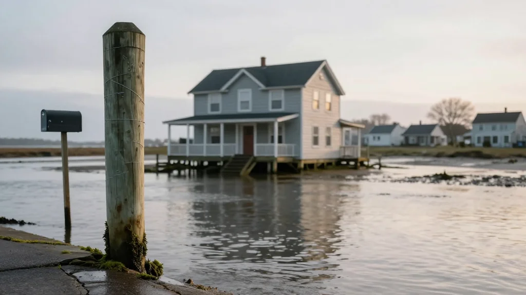
The latest Dutch analysis of tidal‑gauge data overturns a long‑standing assumption that global sea‑level baselines are well‑captured by smooth geoid models. By accounting for ocean currents, wind‑driven surges, and thermal expansion, researchers found real‑world sea levels sit roughly 9.4‑10.6 inches higher than the figures used in most climate‑impact reports. This higher baseline means that even modest future rises will push coastal thresholds earlier than projected, expanding the at‑risk population by tens of millions and challenging the credibility of existing flood‑risk maps.
A second study employing satellite‑mounted radar mapped three‑dimensional subsidence across 40 major river deltas, revealing that more than half are sinking at rates that outpace sea‑level rise. Human activities—particularly intensive groundwater pumping for urban and agricultural use—are the primary driver, with some locales experiencing vertical drops equivalent to several feet per decade. Deltas such as the Mekong, Nile, and Yellow River are already experiencing compounded threats: higher seas plus rapid land loss, accelerating the timeline for catastrophic flooding in cities like Bangkok, Shanghai, and Jakarta.
For policymakers, insurers, and infrastructure investors, these insights demand a shift from reliance on global average projections to localized, measurement‑driven assessments. Mitigation strategies can be more immediate than global emissions cuts; halting groundwater extraction, restoring sediment flows by modifying dam operations, and investing in nature‑based defenses like mangroves can stabilize land levels. Integrating real‑world tide data into planning tools will improve the accuracy of adaptation budgets and help prioritize interventions where the convergence of sea‑level rise and subsidence poses the greatest existential risk.
A More Troubling Picture of Sea Level Rise Is Coming into View
Comments
Want to join the conversation?
Loading comments...