A Team Led by Nick Mortimer at GNS Science in New Zealand Spent Two Decades Mapping the Basalt and Granite Floor of the Tasman Region Before Formally Naming Zealandia in a 2017 Paper, Ending More than a Century of Arguments About Whether a Submerged Landmass Could Still Count as a Continent.
Why It Matters
Recognizing Zealandia reshapes plate‑tectonic reconstructions of Gondwana breakup and forces textbooks to revise the seven‑continent model, influencing geoscience, resource exploration, and biodiversity studies.
Key Takeaways
- •Zealandia spans ~4.9 million km², 95% submerged
- •Crust thickness 10‑30 km, distinct from oceanic floor
- •Four geological tests confirm continental status
- •New map links New Caledonia to Campbell Plateau
Pulse Analysis
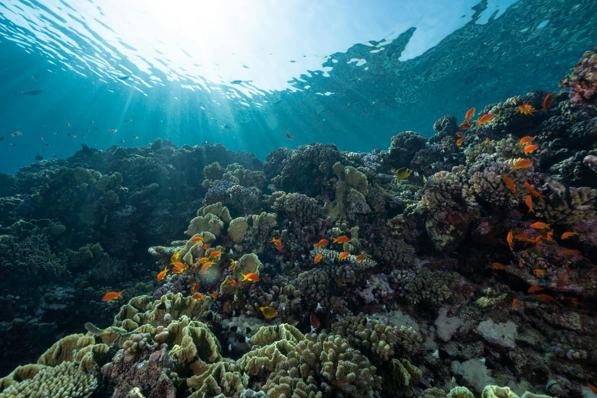
The concept of a continent has long been tied to visible land, a habit inherited from early explorers who could only chart what rose above sea level. That convention began to crumble when geologists started probing the deep Tasman Sea. Led by Nick Mortimer, GNS Science deployed research vessels, dredged granite and sandstone samples, and integrated satellite gravity data over two decades. Their 2017 paper introduced the term ‘Zealandia’ for a 4.9 million‑km² block of continental crust that lies 95 percent beneath the ocean, forcing the scientific community to separate definition from appearance.
The evidence that convinced skeptics was unequivocal. Seismic profiles revealed crustal thickness between 10 and 30 kilometres—far thicker than the 7‑kilometre oceanic crust that underlies most of the Pacific basin. The rock suite, dominated by silica‑rich granite and Cretaceous basalts, matches the chemistry of adjacent Australian and Antarctic fragments, confirming a shared Gondwanan heritage. Mortimer’s team codified four criteria—elevation, distinct geology, crustal thickness, and bounded area—and demonstrated that Zealandia satisfies each. This reclassification reshapes plate‑tectonic reconstructions, adding a massive continental ribbon to models of the Cretaceous breakup of Gondwana.
Beyond academic circles, the acknowledgment of an eighth continent ripples through textbooks, resource assessments, and biogeography. Species distribution models must now account for a once‑continuous land bridge that persisted above water in pockets, explaining flora and fauna links between New Zealand, New Caledonia, and Australia. The 2023 comprehensive geological map, extending the spine of Zealandia for nearly 5,000 kilometres, also provides a template for locating other submerged continental fragments hinted at by gravity anomalies in the Indian and Atlantic oceans. As geophysical tools improve, the legacy of Mortimer’s work suggests the planet’s continental architecture may be far more complex than the familiar seven‑continent picture.
A team led by Nick Mortimer at GNS Science in New Zealand spent two decades mapping the basalt and granite floor of the Tasman region before formally naming Zealandia in a 2017 paper, ending more than a century of arguments about whether a submerged landmass could still count as a continent.
Comments
Want to join the conversation?
Loading comments...