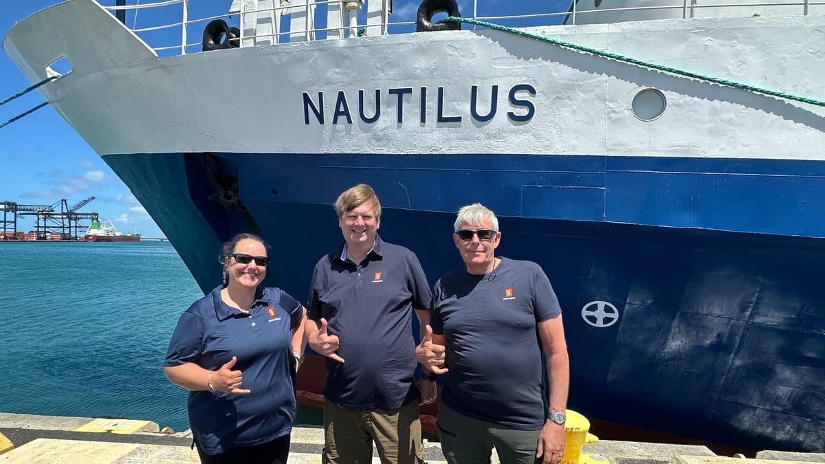
KONGSBERG Deploys New Seabed Mapping System on Nautilus Expedition
Companies Mentioned
Why It Matters
The expedition validates next‑generation seabed‑mapping technology that can boost offshore energy site planning, defense surveying, and scientific discovery, giving KONGSBERG a strategic edge in a data‑hungry market.
Key Takeaways
- •First field test of KONGSBERG EM 304 MKII multibeam system.
- •Expedition maps Central Pacific canyons, seamounts, trenches at full ocean depth.
- •Real‑world data will guide hardware and software refinements.
- •High‑resolution maps support offshore energy, infrastructure, and environmental monitoring.
- •U.S. Navy ONR backs vessel upgrades, signaling defense interest.
Pulse Analysis
High‑resolution seabed mapping has become a cornerstone of modern ocean science and commercial exploration. KONGSBERG’s EM 304 MKII multibeam echo‑sounder pushes the envelope by combining full‑depth capability with a broad swath of acoustic coverage, enabling detailed imaging of features that were previously too remote or complex to capture reliably. This technology addresses a critical gap in the market: the need for consistent, high‑quality bathymetric data that can be integrated into geological models, climate studies, and resource assessments.
The Pacific Mapping expedition aboard the Nautilus provides a rare real‑world laboratory for the EM 304 MKII. Over two weeks, the vessel will traverse diverse terrains—from steep canyon walls to volcanic ridges—testing the system’s robustness under varying acoustic conditions. KONGSBERG engineers will monitor signal fidelity, processing speed, and data integrity, feeding insights directly back into product development cycles. Such in‑situ validation is essential because laboratory simulations cannot fully replicate the pressures, temperatures, and acoustic scattering encountered in the deep Pacific.
Beyond scientific curiosity, the data harvested will feed into offshore energy workflows, where precise seabed characterization reduces risk for subsea infrastructure and informs environmental compliance. Defense stakeholders, exemplified by the U.S. Navy’s Office of Naval Research, also stand to benefit from improved navigation charts and threat detection capabilities. As global demand for detailed marine geospatial intelligence accelerates, KONGSBERG’s successful deployment positions it to capture a larger share of the burgeoning seabed‑mapping market.
KONGSBERG deploys new seabed mapping system on Nautilus expedition
Comments
Want to join the conversation?
Loading comments...