Modelling of Surface Roughness Effects on Cyclone Wind Fields and Associated Storm Surge Along the East Coast
Why It Matters
More accurate surge forecasts protect densely populated coastlines and lower economic losses, offering a scalable upgrade for operational flood‑prediction tools.
Key Takeaways
- •Directional surface roughness parametrization boosts surge height accuracy
- •Land‑use based wind dissipation reduces flood extent errors
- •ADCIRC‑SWAN coupling captures complex Bay of Bengal topography
- •Improved forecasts aid emergency response and mitigation planning
Pulse Analysis
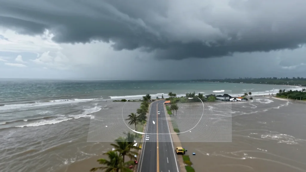
The Bay of Bengal’s coastline endures some of the world’s most devastating cyclones, with storm surges often causing catastrophic flooding. Traditional surge models have struggled to account for the heterogeneous land‑use patterns that slow winds over land, leading to over‑ or under‑predicted water levels. By embedding a directional surface‑roughness scheme that adjusts both wind speed and Manning’s n friction coefficient, researchers have addressed a critical gap, allowing the model to reflect how forests, urban areas, and wetlands dissipate cyclone energy before it reaches the shoreline.
Technical implementation leverages the well‑established Holland wind‑field formulation as the forcing mechanism, while the ADCIRC‑SWAN framework handles hydrodynamics and wave interactions. The roughness module translates satellite‑derived land‑cover classifications into spatially varying friction values, dynamically altering wind stress as the cyclone traverses inland terrain. Validation against observed surge heights from the 2020 Amphan and 2021 Yaas events shows error reductions of up to 30 percent and a tighter match to observed inundation boundaries, underscoring the value of coupling land‑surface processes with oceanic models.
For policymakers and disaster‑management agencies, these findings translate into actionable improvements. More reliable surge predictions enable earlier evacuations, better allocation of resources, and refined infrastructure design standards for vulnerable communities. As climate change intensifies cyclone activity, integrating surface‑roughness effects could become a standard practice not only for the Bay of Bengal but for any coastal region where land‑use heterogeneity influences storm dynamics, strengthening resilience across the global maritime domain.
Modelling of Surface Roughness Effects on Cyclone Wind Fields and Associated Storm Surge along the East Coast
Comments
Want to join the conversation?
Loading comments...