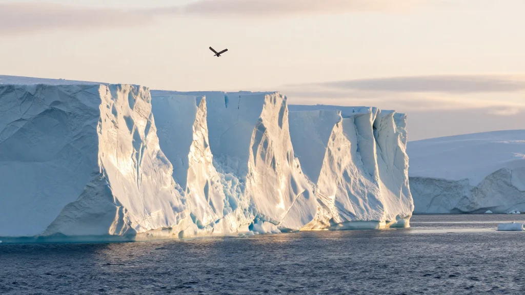
NASA Confirms Record 25‑km Retreat of Antarctica’s Hektoria Glacier
Why It Matters
The Hektoria Glacier episode provides a concrete example of how glacier shape and surrounding ice‑shelf conditions can trigger abrupt, large‑scale ice loss. Such events feed directly into global sea‑level rise, threatening coastal communities worldwide. Moreover, the rapidity of the retreat challenges existing ice‑sheet models that often assume slower, more gradual changes, underscoring the need for updated predictive frameworks. Beyond sea level, the findings illuminate the cascading impacts of ice‑shelf collapse—first observed with Larsen B—on inland glaciers. Understanding these linkages is critical for assessing the stability of the Antarctic Peninsula, a region already experiencing some of the fastest warming on the planet.
Key Takeaways
- •Hektoria Glacier lost ~25 km (15 miles) of length between Jan 2022‑Mar 2023
- •Grounded‑ice retreat of >8 km in two months is the fastest recorded for Antarctic glaciers
- •Study links rapid loss to glacier geometry and loss of Larsen B buttressing
- •Grounded ice loss contributes directly to global sea‑level rise
- •Continued satellite monitoring is planned to gauge post‑retreat stability
Pulse Analysis
The Hektoria case forces a reassessment of how quickly Antarctic glaciers can respond to destabilizing forces. Traditional models have treated grounding‑line retreat as a gradual process, but the 8‑km, two‑month episode shows that once a critical geometry is breached, ice can disengage almost instantaneously. This suggests that ice‑sheet forecasts may be under‑estimating near‑term contributions to sea level, especially for glaciers with similar floating‑tongue configurations.
Historically, the Antarctic Peninsula has served as a climate change bellwether, with the Larsen B collapse in 2002 marking the first major ice‑shelf loss of the satellite era. Hektoria’s recent behavior indicates that the peninsula’s glaciers are now entering a second phase of rapid adjustment, driven not only by atmospheric warming but also by oceanic heat that thins and undercuts ice shelves. Policymakers and coastal planners should therefore treat the next decade as a period of heightened uncertainty for sea‑level projections.
Looking ahead, integrating high‑frequency satellite observations with improved sub‑glacial topography maps will be essential. Such data can pinpoint vulnerable geometries before they fail, offering a potential early‑warning system for rapid ice loss. If the scientific community can translate these insights into actionable forecasts, it could narrow the gap between climate predictions and the realities faced by vulnerable coastal regions.
NASA Confirms Record 25‑km Retreat of Antarctica’s Hektoria Glacier
Comments
Want to join the conversation?
Loading comments...