NASA Satellite Images Highlight How Fast Mexico City Is Sinking
Companies Mentioned
NASA
Onfido
Why It Matters
Accelerated sinking threatens critical infrastructure and amplifies the water crisis, forcing costly urban‑planning interventions and highlighting the need for sustainable groundwater management.
Key Takeaways
- •Subsidence rate averages 9.5 inches (24 cm) annually citywide.
- •Groundwater extraction shrinks aquifer, driving the sinking.
- •Infrastructure like subway, drainage, and historic monuments at risk.
- •NISAR satellite provides centimeter‑level surface change data from space.
- •Researchers aim for building‑by‑building monitoring to guide mitigation.
Pulse Analysis
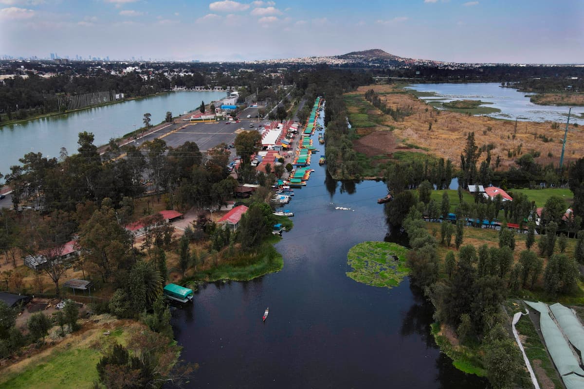
Mexico City, home to 22 million residents across 3,000 square miles, is sinking at an alarming pace—about 10 inches (25 cm) per year, according to NASA’s latest satellite observations. The metropolis sits on the former lakebed of Lake Texcoco, and decades of intensive groundwater pumping have emptied the underlying aquifer, causing the ground to compact. This long‑running subsidence has already tilted historic structures such as the Metropolitan Cathedral and threatens critical systems including the subway, drainage network, and water supply, amplifying the city’s chronic water crisis.
NISAR, the joint NASA‑ISRO radar mission launched in late 2025, captures surface deformation with centimeter‑level precision by comparing successive interferometric images. The satellite’s ability to monitor changes every few weeks allowed scientists to map Mexico City’s subsidence down to a few centimeters per month, revealing hotspots near the airport and the Angel of Independence. Beyond urban sinking, NISAR’s data stream is being positioned to track fault‑line movements, glacier melt in Antarctica, and volcanic inflation, offering governments an early‑warning tool for natural‑disaster response.
The stark imagery forces policymakers to confront the economic cost of inaction. Repairing tilted heritage sites, retrofitting subway tunnels, and redesigning drainage systems could run into billions of dollars, while the water scarcity driven by aquifer depletion threatens industrial output and real‑estate values. By integrating NISAR’s high‑resolution subsidence maps with municipal planning tools, Mexico City can prioritize groundwater recharge projects, enforce stricter extraction limits, and allocate funds to the most vulnerable neighborhoods. The technology also sets a precedent for other sinking megacities, from Jakarta to Los Angeles, to adopt satellite‑based risk assessments.
NASA Satellite Images Highlight How Fast Mexico City is Sinking
Comments
Want to join the conversation?
Loading comments...