Prof. Jana Houser Shares Radar Analysis Expertise on Tornadoes that Struck the Midwest
Why It Matters
Reduced observational capacity hampers tornado forecasting, raising public safety risks as the region braces for more severe storms.
Key Takeaways
- •Classic triple-point setup triggered Enid tornado
- •Warm Gulf moisture met dry line and cold front
- •Tornado attribution to climate change remains uncertain
- •NWS balloon launches cut, weakening forecast accuracy
- •Midwest faces heightened tornado risk in coming days
Pulse Analysis
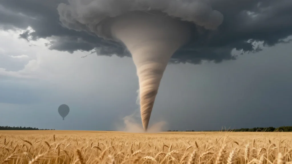
The Enid tornado exemplifies how a perfect convergence of atmospheric ingredients—southerly Gulf moisture, a sharp dry line, and an advancing cold front—creates the so‑called triple point, a hotspot for supercell development across the central Plains. When strong low‑level wind shear aligns with high instability, storms can rapidly intensify into violent tornadoes, as seen in the recent Oklahoma event. Understanding these dynamics helps meteorologists anticipate where the most dangerous storms may form, even as the broader synoptic pattern appears benign.
Scientists continue to grapple with the question of whether climate change is amplifying tornado frequency or intensity. Tornadoes are inherently small‑scale phenomena, making them difficult to capture in global climate models that operate at coarse resolutions. Researchers therefore rely on high‑resolution observations, such as radiosonde balloon data, to feed into regional models. Recent budget reductions at the National Weather Service have curtailed the number of daily balloon launches, limiting the vertical profile data essential for accurate model initialization and ultimately weakening warning lead times.
For emergency managers and residents across the Midwest, the immediate concern is the heightened risk window identified by Houser. While the total number of tornadoes may not rise dramatically, the potential for larger, more destructive events increases when atmospheric conditions align. Strengthening the NWS’s observational network, investing in dual‑polarity radar upgrades, and expanding community outreach programs are critical steps to mitigate this risk. Policymakers must weigh the cost of cuts against the societal expense of missed warnings, especially as climate variability continues to challenge traditional forecasting paradigms.
Prof. Jana Houser shares radar analysis expertise on tornadoes that struck the Midwest
Comments
Want to join the conversation?
Loading comments...