Rising Sea Levels and Sinking Coastal Lands: 2 Studies Reshape Our Understanding of Climate Threats
Why It Matters
Underestimating sea‑level baselines and land subsidence skews flood‑risk planning, exposing tens of millions to premature coastal disasters and demanding urgent revisions to adaptation strategies.
Key Takeaways
- •Sea levels average ~1 ft higher than standard global model baselines
- •Tidal‑gauge analysis shows baseline errors of 3 ft or more
- •~80 million people now live below sea level, double past estimates
- •Land subsidence in many coasts outpaces sea‑level rise
- •Urgent need to overhaul flood‑risk models and investment plans
Pulse Analysis
The latest research from Dutch tidal‑gauge analyses and global subsidence surveys upends conventional climate‑risk models. By anchoring sea‑level projections to actual measurements rather than idealized, calm‑sea simulations, scientists discovered that average ocean heights sit about a foot above the figures used in most policy frameworks. This discrepancy, compounded by errors of three feet or more in many regional baselines, means that the starting point for future rise is substantially higher, reshaping the risk calculus for coastal planners.
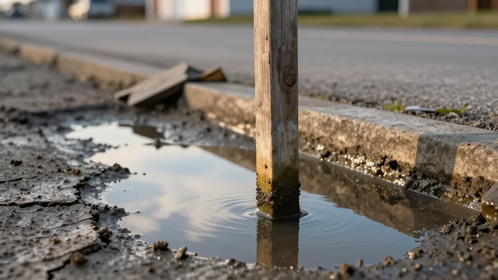
Beyond the elevated water, the studies highlight a less‑visible but equally critical driver: land subsidence. In numerous deltaic and coastal zones, the ground is sinking at rates that exceed the pace of sea‑level increase, effectively amplifying flood exposure. This dual threat is most acute in rapidly urbanizing megacities of the Global South, where dense populations and limited adaptive capacity converge. The revised estimate of 80 million people living below sea level—nearly twice earlier figures—signals a looming humanitarian and economic crisis that could unfold within decades rather than the distant future.
For governments, insurers, and investors, the findings demand an immediate overhaul of flood‑risk modeling, infrastructure design, and financing mechanisms. Traditional insurance maps and zoning regulations, built on outdated sea‑level baselines, may no longer provide reliable protection. Incorporating real‑time tidal data and subsidence rates into predictive tools can improve resilience planning and guide targeted investments in sea walls, managed retreat, and climate‑smart urban development. As the window for effective mitigation narrows, the urgency to align policy with these new scientific insights becomes a decisive factor in safeguarding coastal economies and communities.
Rising Sea Levels and Sinking Coastal Lands: 2 Studies Reshape Our Understanding of Climate Threats
Comments
Want to join the conversation?
Loading comments...